 |
Rockies Rail Tour
(Note: Clicking on any image in this travelogue will bring up a full screen version of the image.)
Monday, July 10: Mount Falcon Park
|
|
Monday morning, and Jenny came in with the glad news that she'd found her glasses. They were draped over the spare roll of toilet paper in the bathroom.
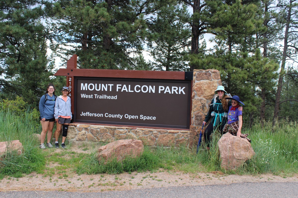
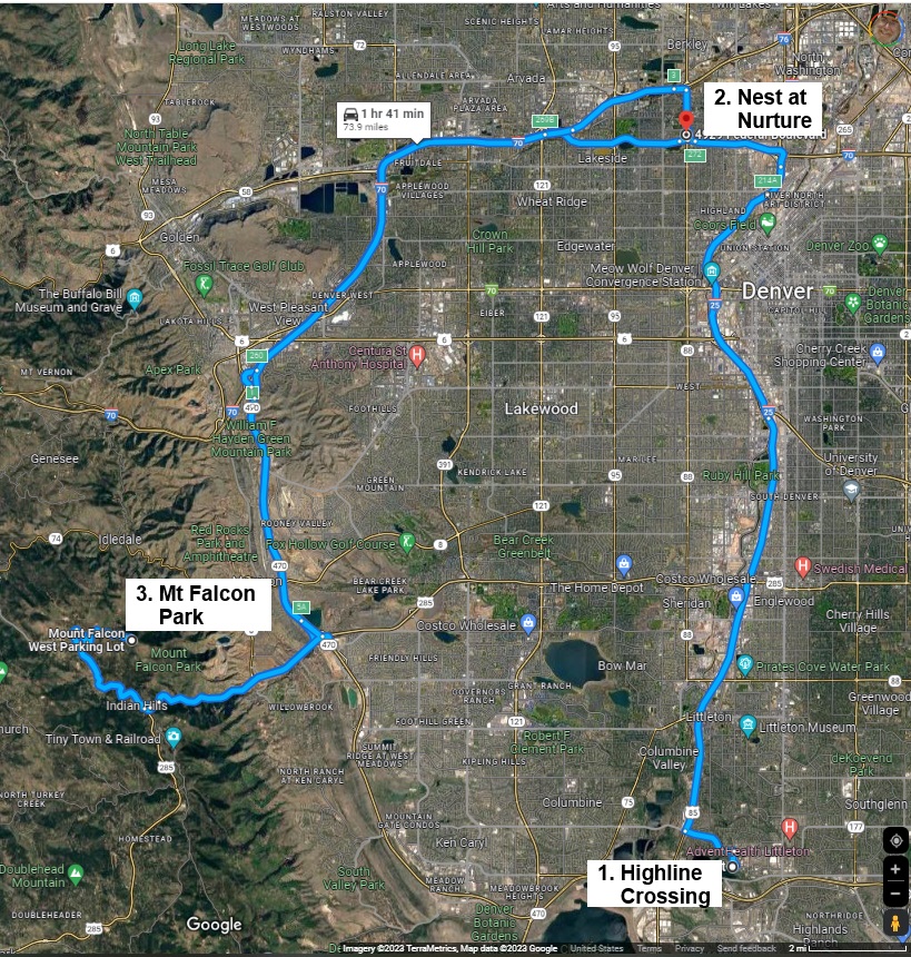
Jenny had booked us on a guided hike arranged by the Colorado Hiking Company Ltd. This is essentially a one-woman operation owned by Lauren Brooke. She's hiked the outdoors since she was a child, and recently quit her day job and opened her own business as a professional trek guide. We met her at Nest at Nurture, a health & wellness facility in Denver, along with Rose and Amber, a mother and daughter from Iowa. Lauren tailors the hikes she leads to the capabilities and experience of her party. Still concerned with the altitude and the heat, I asked if it would be OK if we took the easy trail. Everyone seemed amenable to that, and we all piled into her SUV, and off we went..
Mount Falcon Park
|
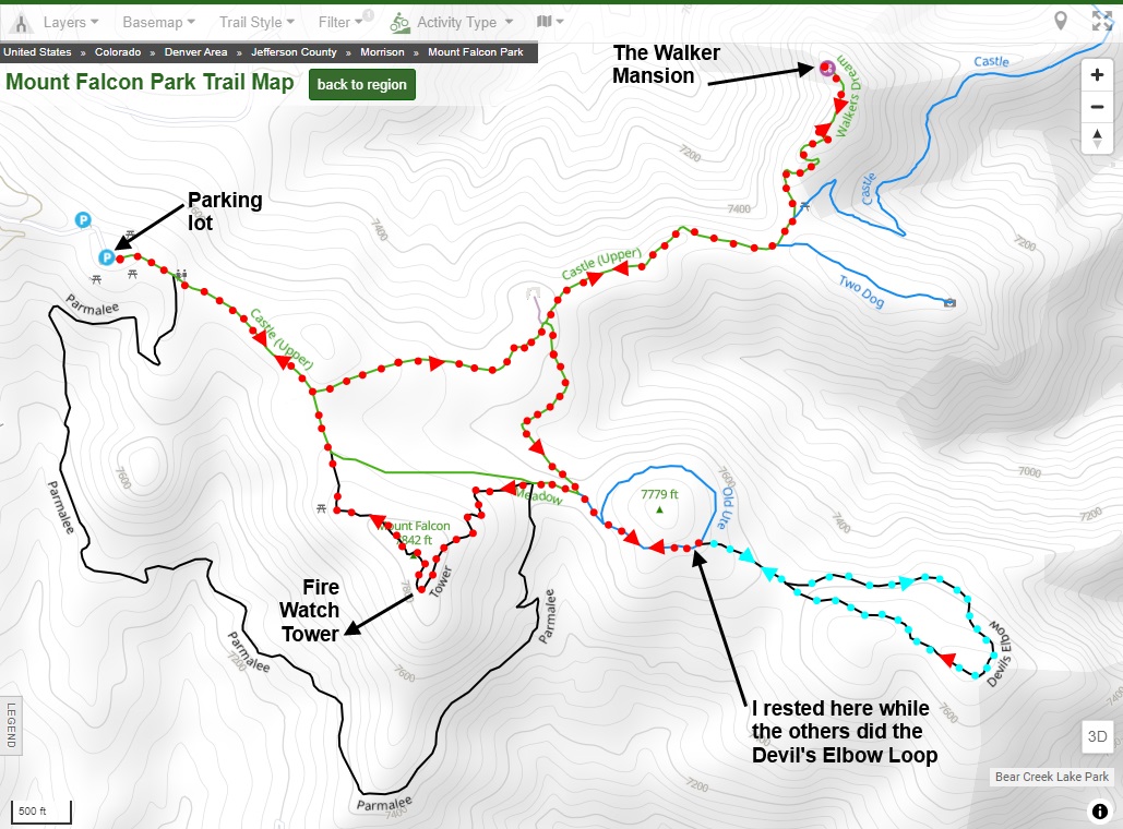
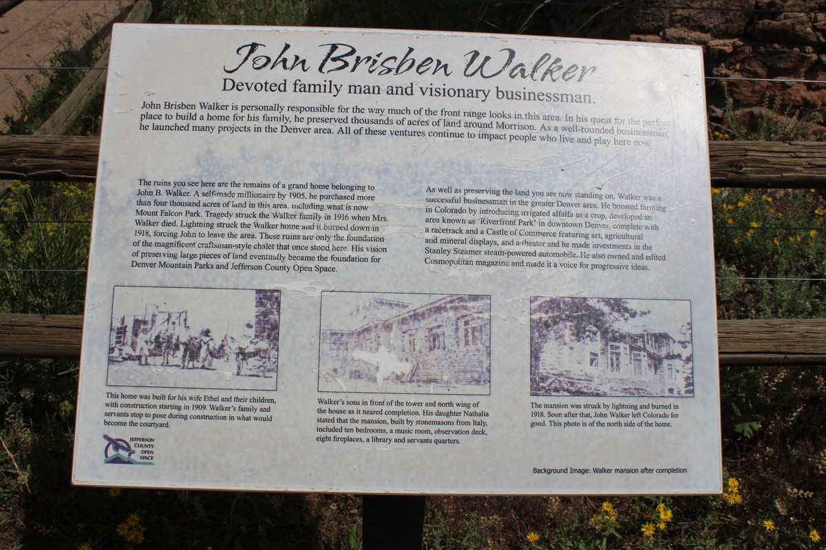
Lauren selected as an easy hike Mount Falcon Park. Mount Falcon is rather unusual inasmuch as it is a Denver City Park, located many miles from the City of Denver. It was built on land donated to the City of Denver by John Brisben Walker. (See Photo 109.) It occupies 1,252 acres, and provides over 12 miles of trails. According to its website,
"Hikers and equestrians at Mount Falcon Park have 1.7-mile Turkey Trot Trail all to themselves. The remaining trail miles are multi-use. The 2,000-foot elevation gain of the Castle Trail, a steep climb from the east, provides a vigorous workout. Historic sites at the park include the ruins of John Brisben Walker’s castle, and the cornerstone of a would-be summer White House for U.S. Presidents. There is also a wooden tower, situated along Tower Trail, which visitors can climb to survey wonders of the landscape that never cease to amaze."
The Castle Trail
|
|
|
|
|
|
|
|
|
|
|
|
|
|
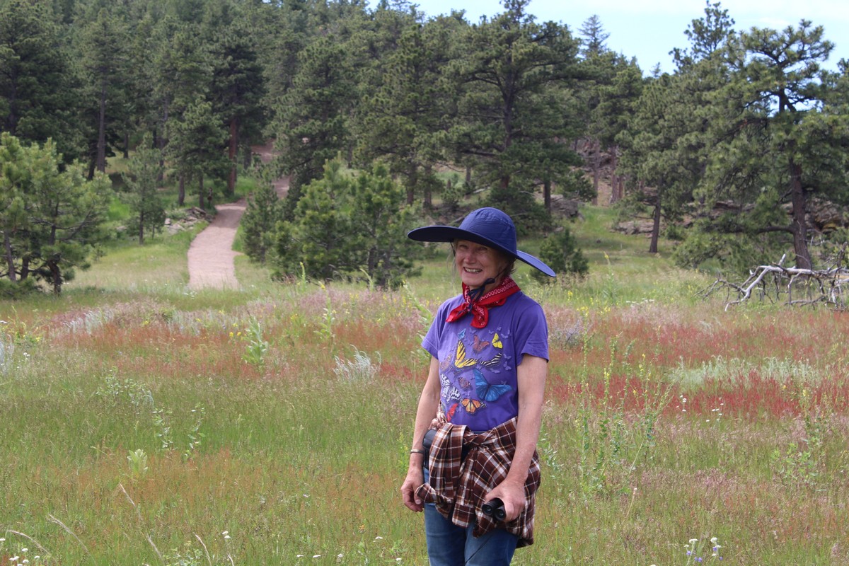
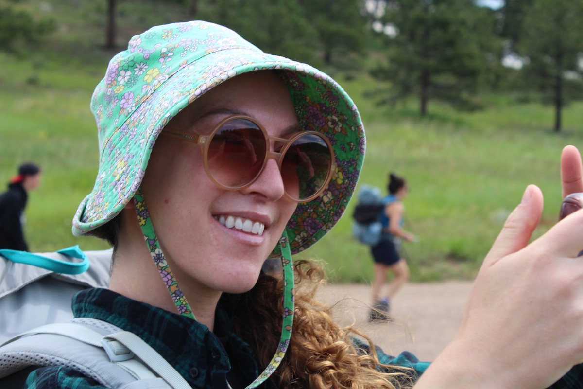
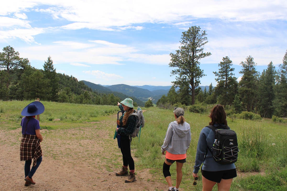
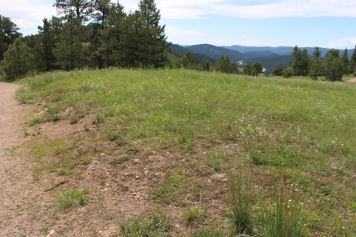
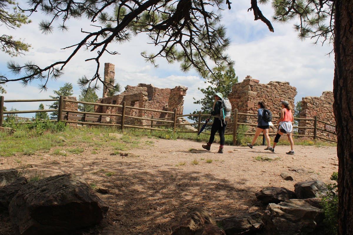
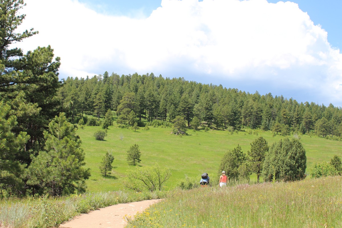
Photo 96 depicts our bold explorers (less one photographer) at the outset of our journey. Left to right are Amber, Rose, Lauren, and Jenny. Lauren is shown in Photo 98 and Jenny in Photo 97. (I love that photo. It is so...Jenny!) The walk was indeed not very strenuous over gently rolling terrain. We all had plenty of water, and Lauren provided us with packets of electrolytes to mix into it. I had never tried electrolytes before. I really couldn't tell how much benefit they provided, but I guess they didn't do me any harm. The first leg would be to the ruins of Walker Castle, and off we went, as depicted in Photo 99.
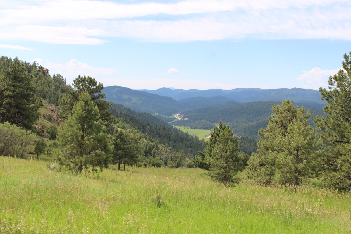
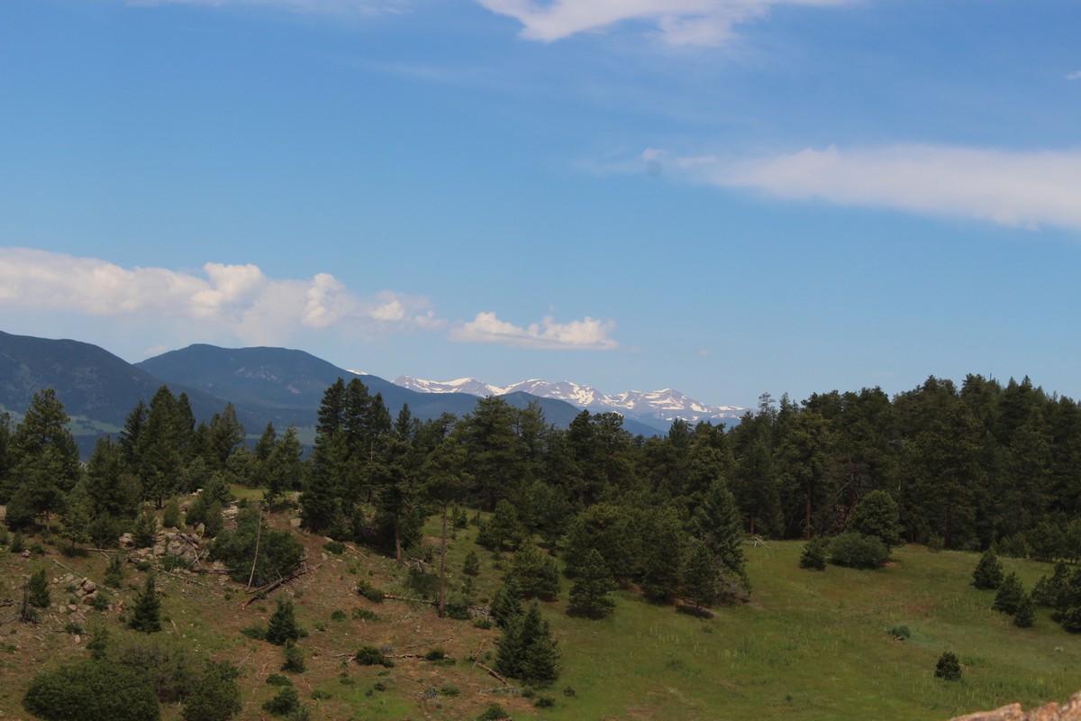
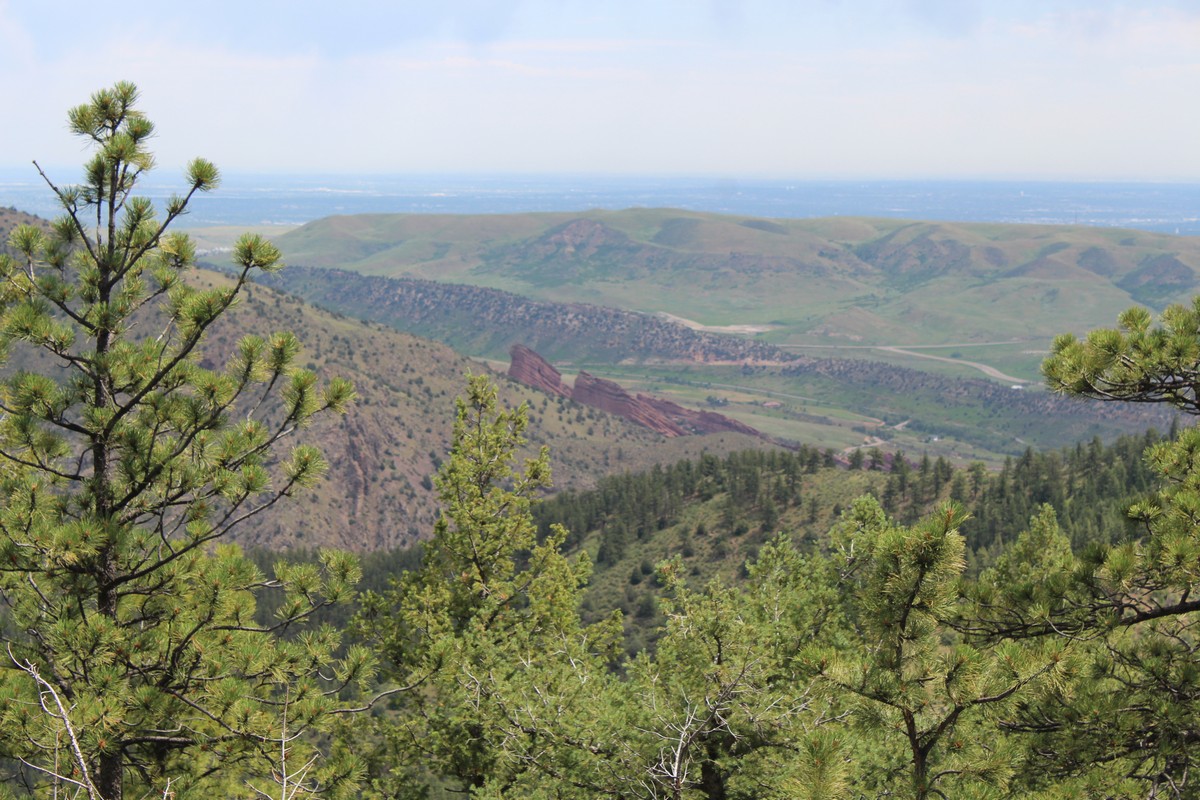
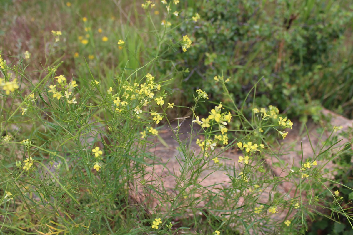
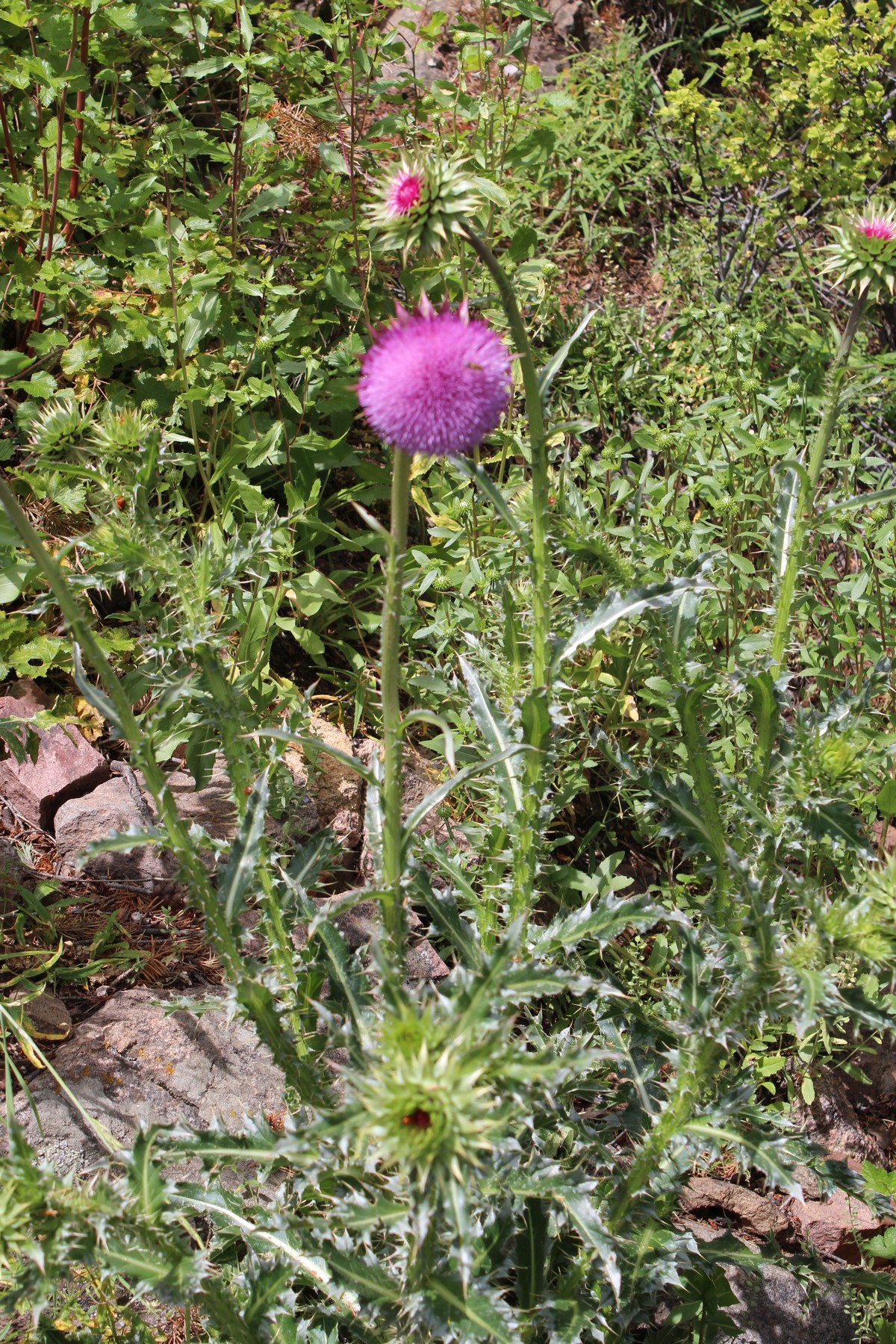
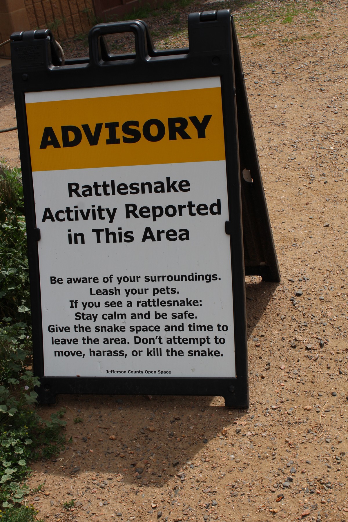
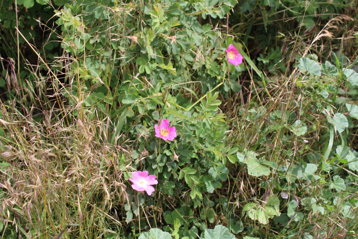
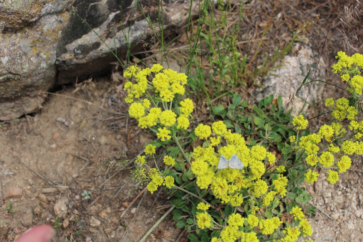
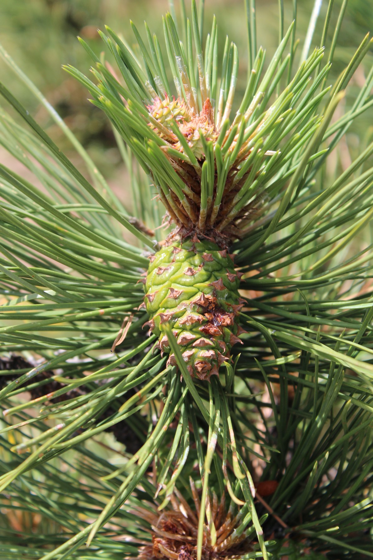
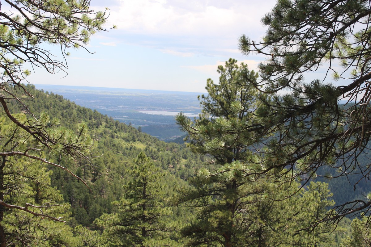
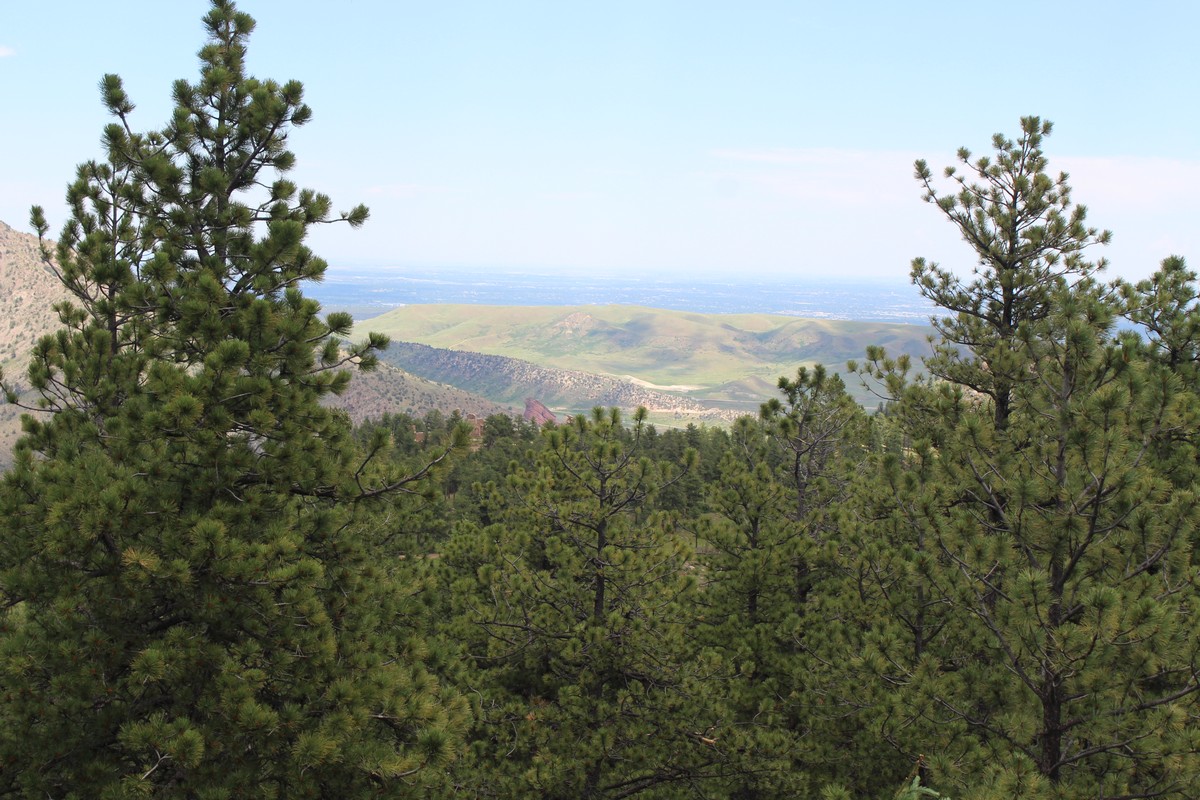
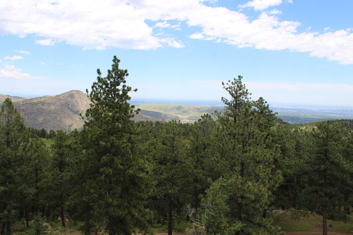
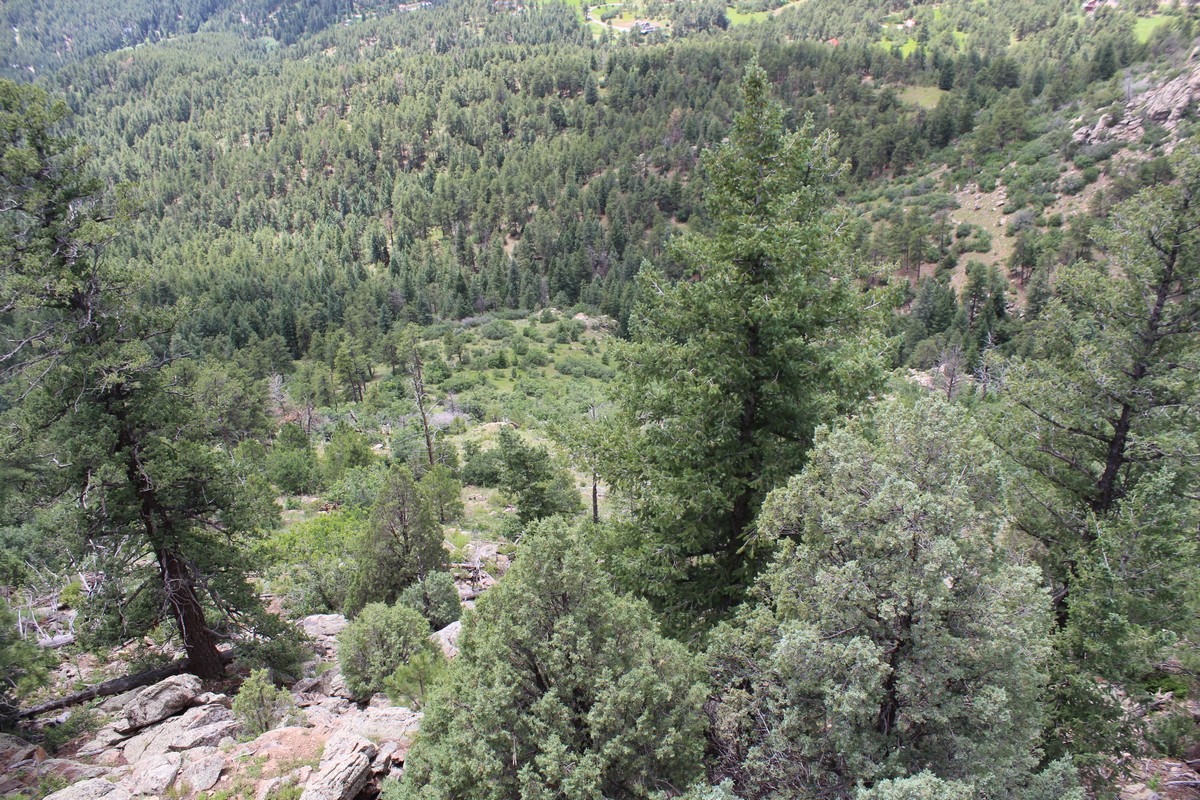
The trail was replete with long vast vistas through scattered timber (Photos 100 - 103. Note: In Photo 102, the highest of the snowy peaks on the right is Mount Evans, where we were yesterday.). Photo 103 shows wildflowers in profusion as a result of a very rainy spring. Jenny keeps reminding me to focus on the small as well as the vast, so I took a few shots of the individual flowers as well.(Photos 104 - 106) A sign (photo 107) warned us of some less benign occupants of the park as well. In about 20 minutes or so, we arrived at the ruins of Walker Castle. (Photo 108). The explanatory placard (Photo 109) gives some of its interesting history. (Click on the photo -- or any of the photos in this blog -- for a full screen with readable font. More useful for those of you who are reading this Blog on a computer monitor than a phone.)
The ruins were quite interesting. However the site itself was judged unstable, and roped off from public access. I could walk all the way around it. But since the castle was perched on the edge of a cliff for the view out the window, I could not back away to get a vantage point for a good photograph from anywhere except the road leading up to it. The heat (95°) and the altitude were starting to get to me, so I sat in the shade and chugged some electrolytes. The Castle Trail did lead onward a mile or two further with a climb of 2,000 feet. That, however was not deemed an "easy" hike, so it was not included in our agenda, thank goodness.
The Devil's Elbow
|
|
|
|
|
|
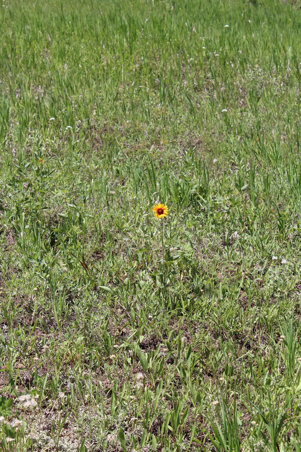
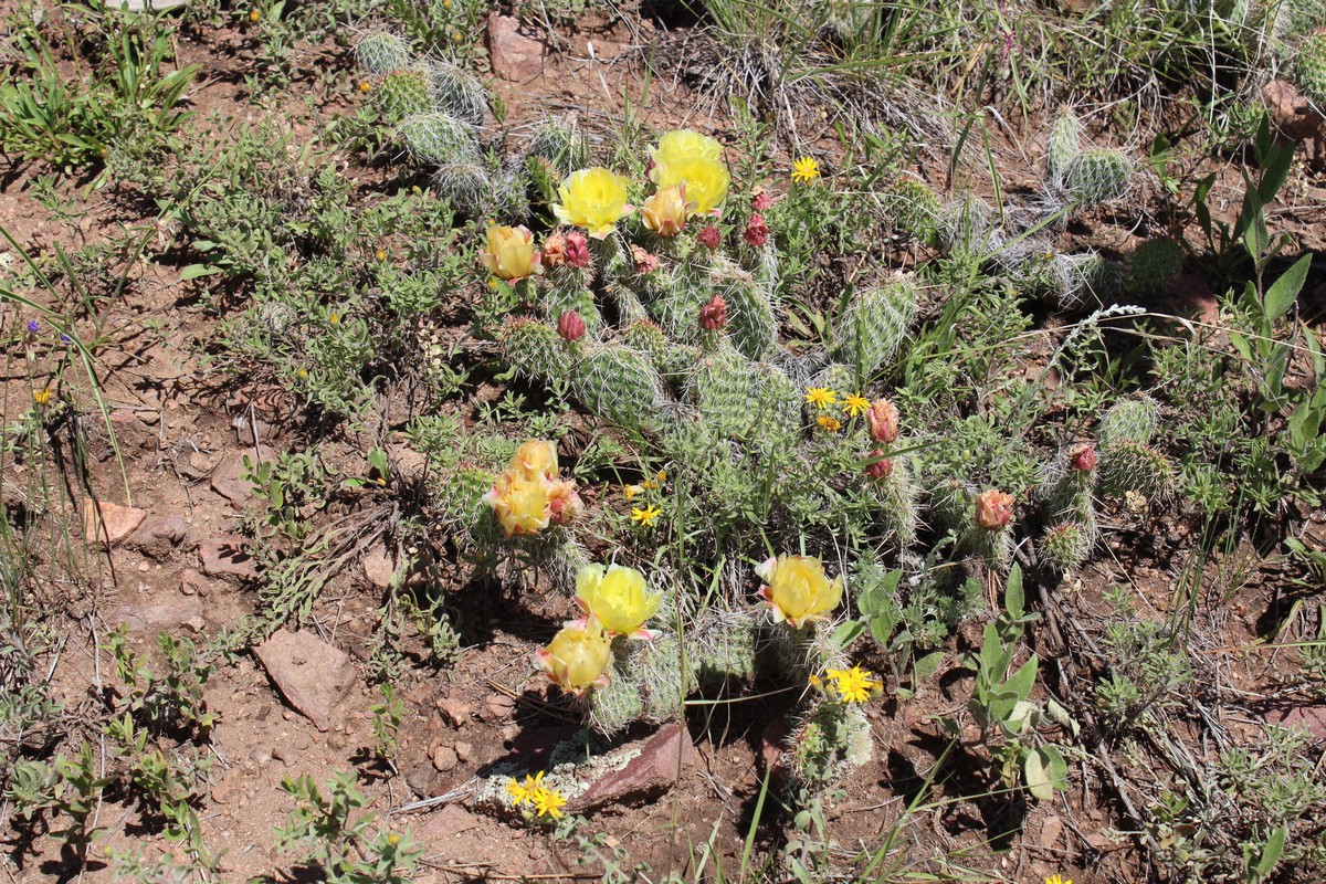
Instead, we backtracked the way we came, and then took a left at a fork to head towards a spot called the Devil's Elbow. Along the way, I took the above photos, revealing my ignorance of flowers. They were all very lovely, but I was ignorant or unsure of all of their names except Jenny's. I will rely on my more educated readers to identify them properly. The last leg of the trail did involve some uphill trekking. Not feeling up to it, I opted to sit in the shade on a convenient bench and catch some Z's, so as to not hold up the rest of the party while they made the climb.
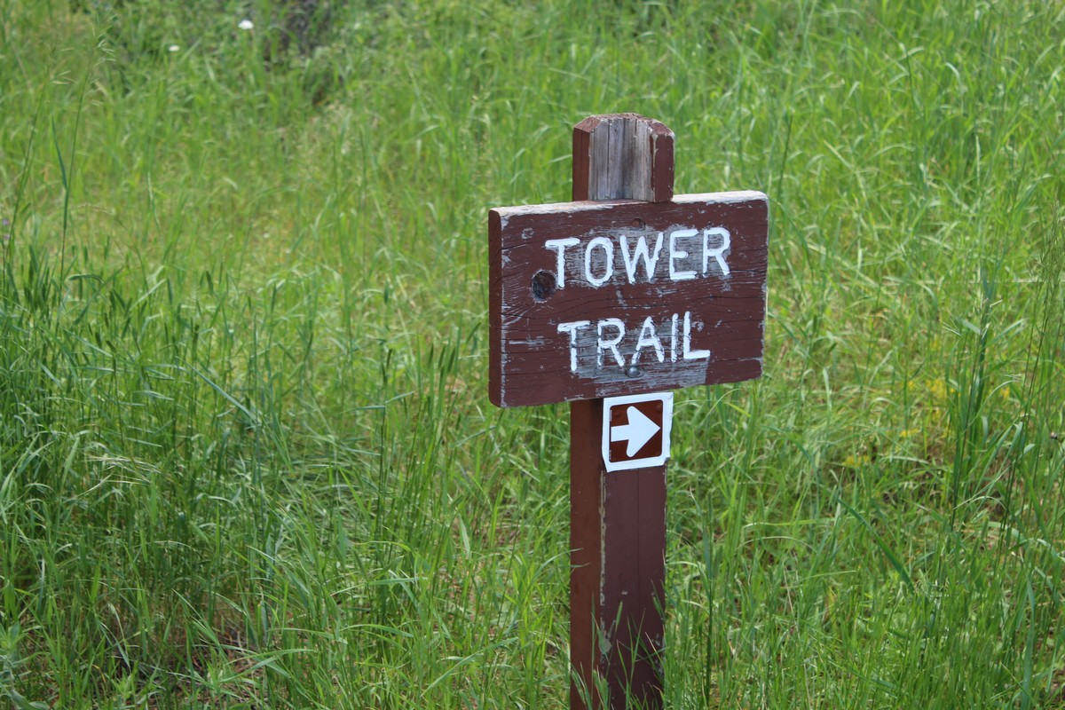
The Tower Trail
|
|
|
|
|
|
|
|
|
|
|
|
|
|
|
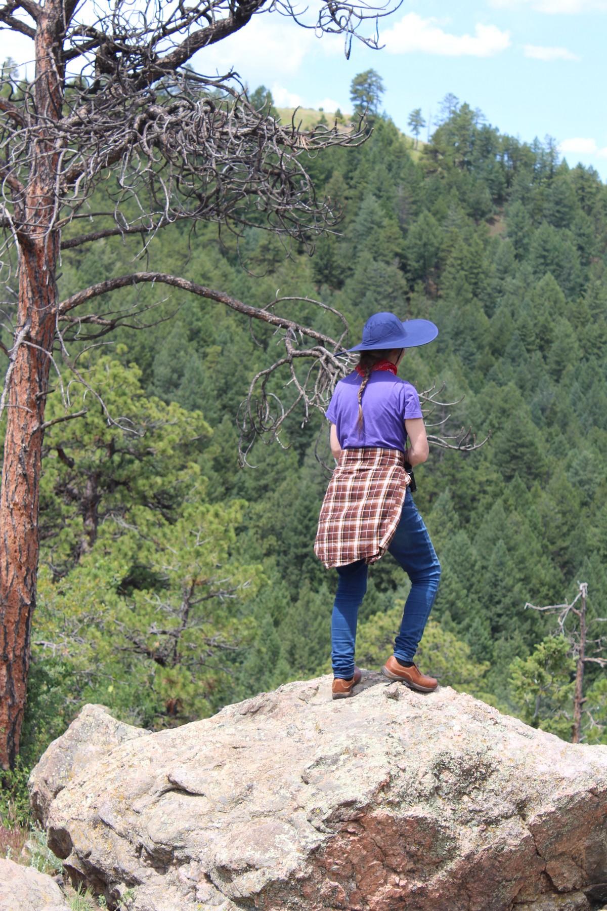
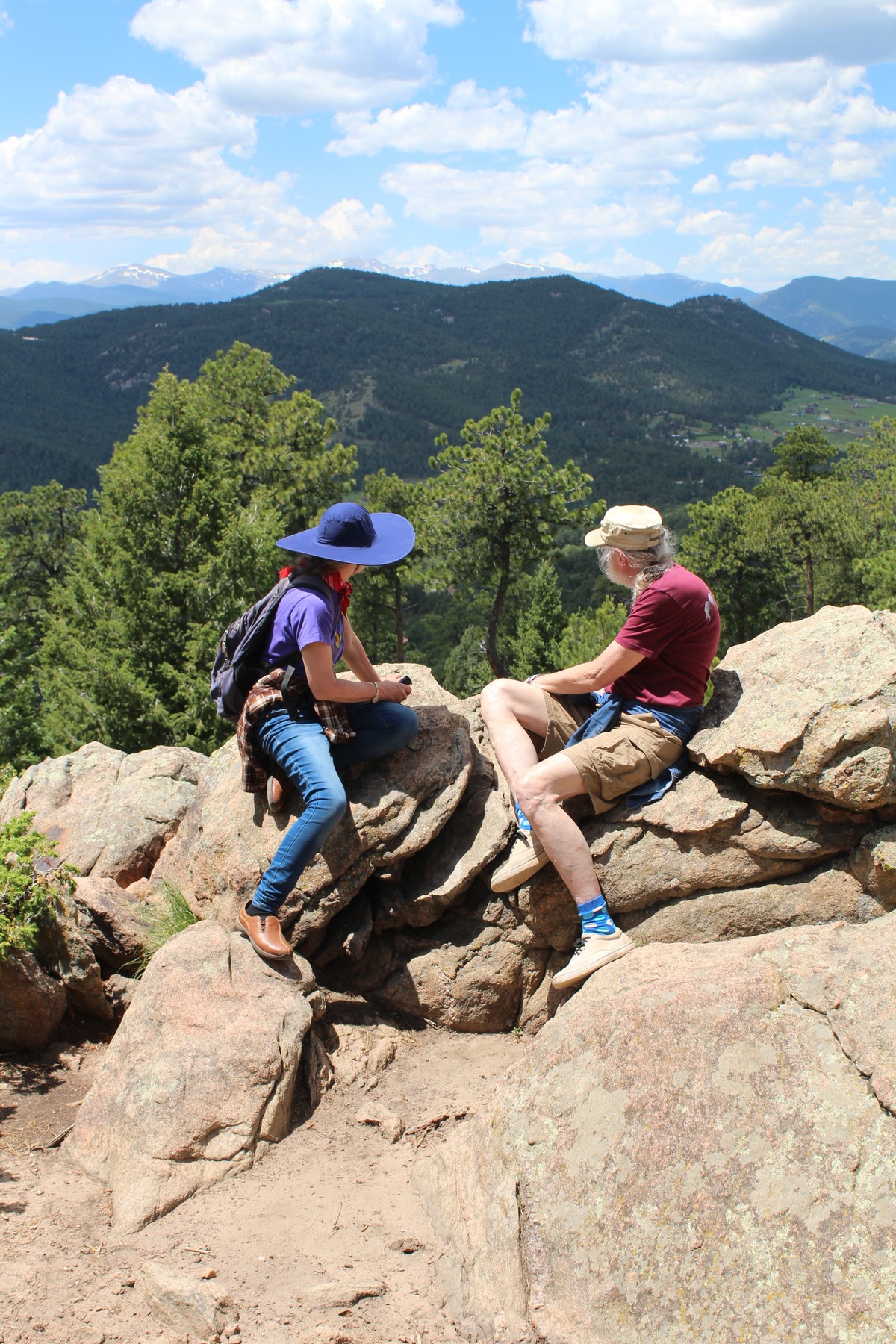
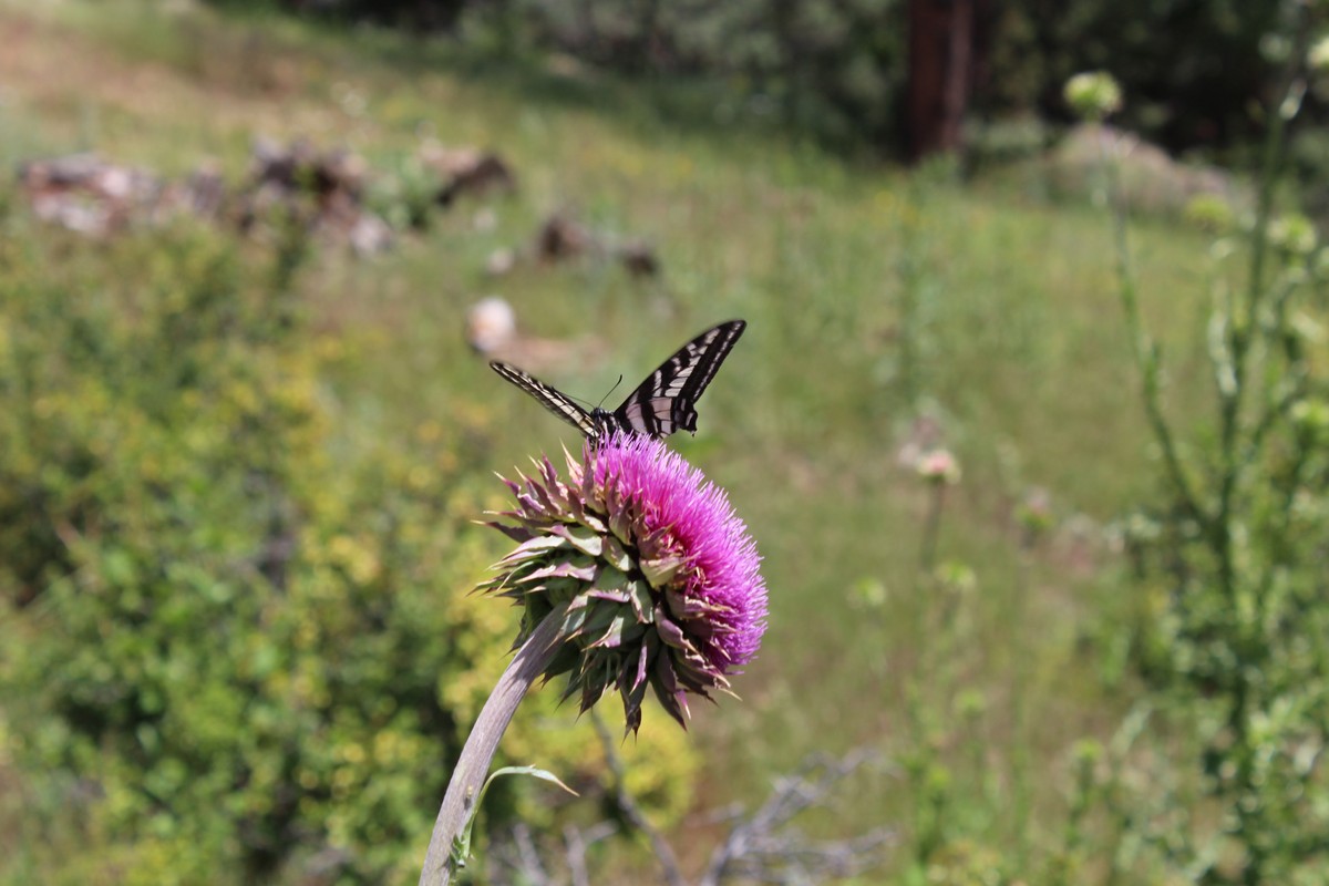
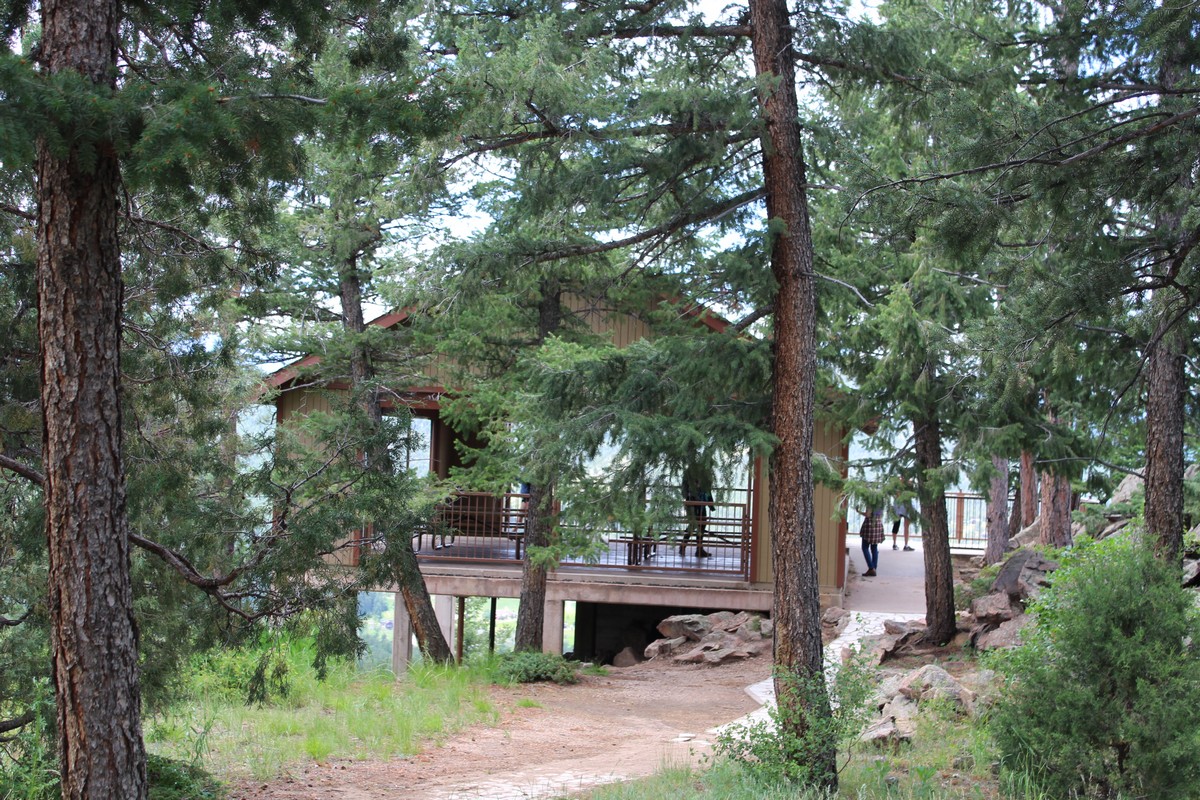
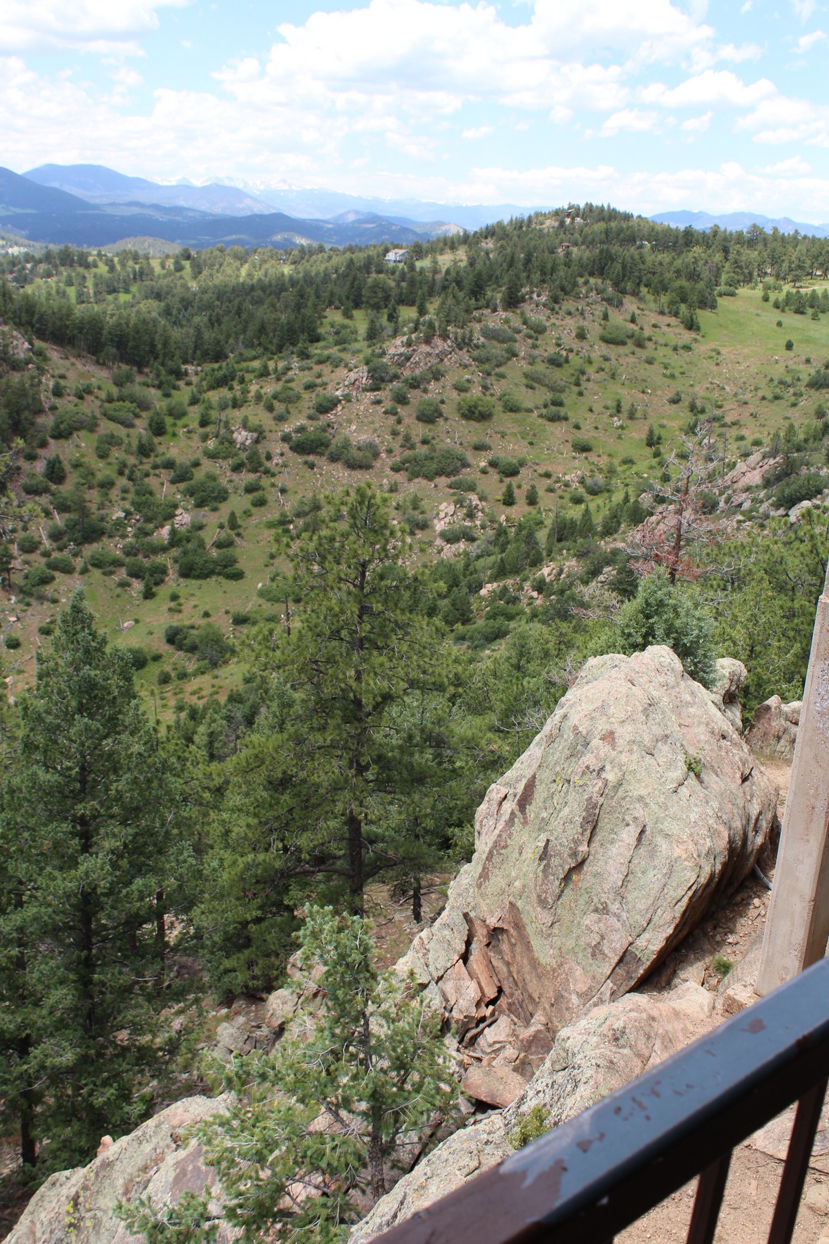
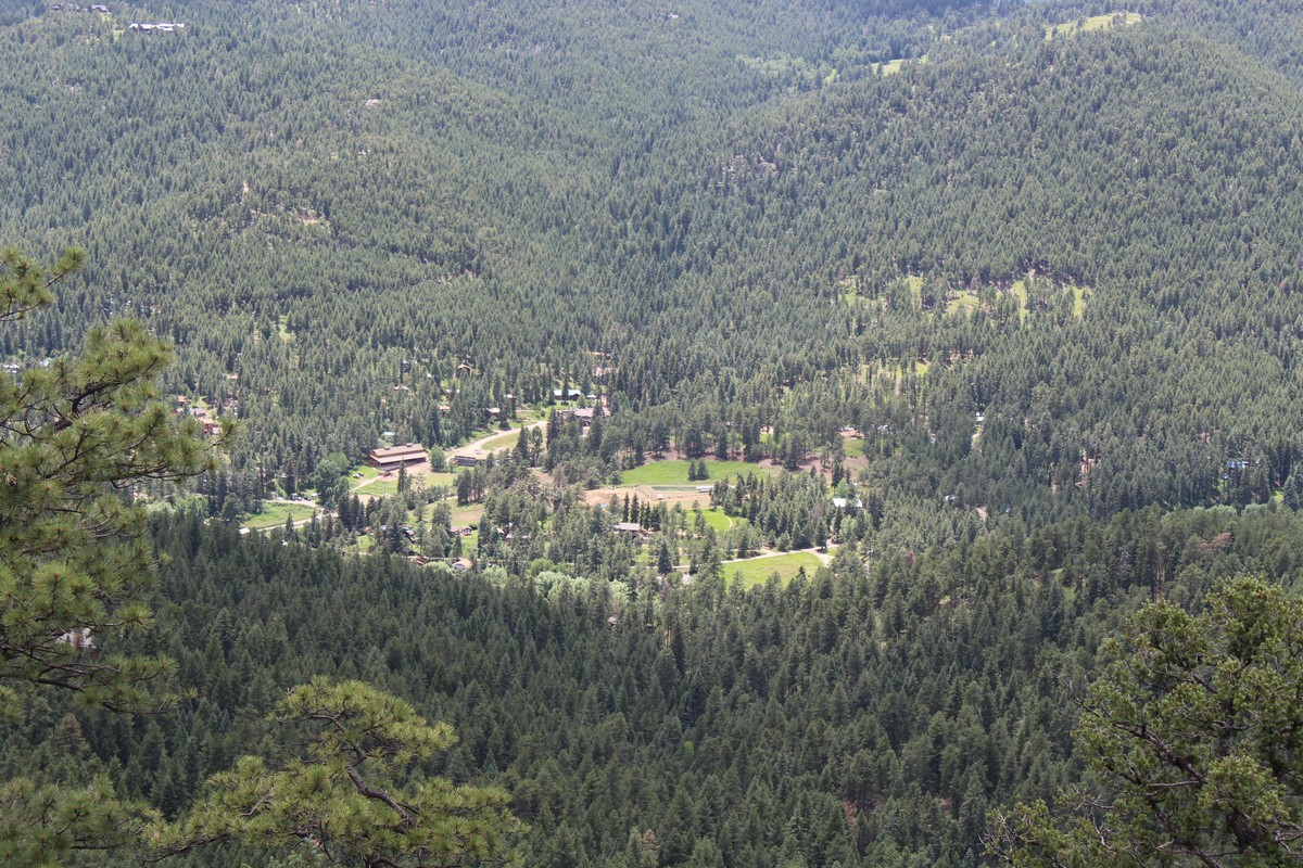
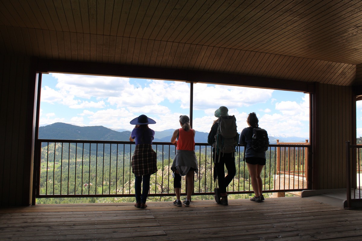
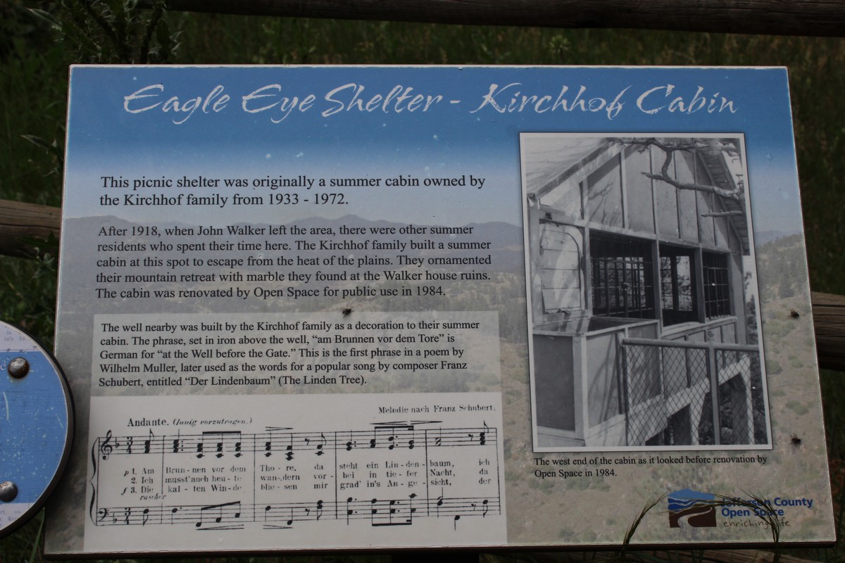
When the rest of the group returned, we all proceeded together on the Tower Trail (Photo 115) to see...the Tower. Well, not much of a tower, actually. More like a picnic shelter perched on a bluff. Photo 122 gives you a picture of what it looks like, and Photo 123 gives some description. There were some lovely views on the way there, and I managed to snag a photo of a butterfly gathering nectar from a flower Photo 121). There were some pretty spectacular views from the shelter (Photos 124 - 126. I went to get a drink of water from my backpack, which I had left on one of the picnic tables. When I turned back to join the group, I saw Photo 127 staring me in the face, and I had to shoot it.
Parenthetical diversion: The alternate definition of the word "shoot" lends some humor to that last sentence. Not unlike the section in the manual of my camera that offers tips on appropriate settings for shooting children. OK, now back to our regularly scheduled program.
We returned to the parking lot, and hit the road back to the Nest at Nurture (Photo 128) Jenny and I grabbed a quick dinner at a nearby pizza place, and headed back to Highline Crossing. I had made a little date with John Rymers to sit down and play a little music after dinner. I grabbed his guitar and my concertina, and walked over to his apartment, and we spent a companionable hour and a half swapping songs, and singing with each other. I returned to our suite, and packed our bags, as this would be our last night at Highline Crossing.