|
Rockies Rail Tour
(Note: Clicking on any image in this travelogue will bring up a full screen version of the image.)
Sunday, July 9: Mount Evans
|
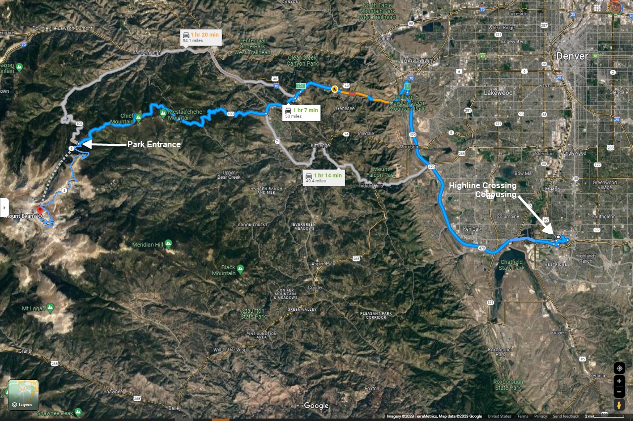
I was talking to John Licht before I left home, asking him about worthwhile sights to see in the Denver area. He said, "Ya gotta make the drive up to the top of Mount Evans. I'll drive you and Jenny up there." We picked Sunday for the trip. I was glad for the offer. After exhausting myself the previous day with nothing more that a 2 hour walk in that heat and altitude, I was glad to sit while someone else drove me. So John picked us up at Highline Crossing after breakfast, and off we went.
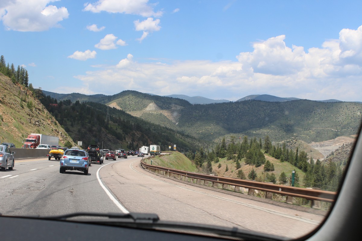
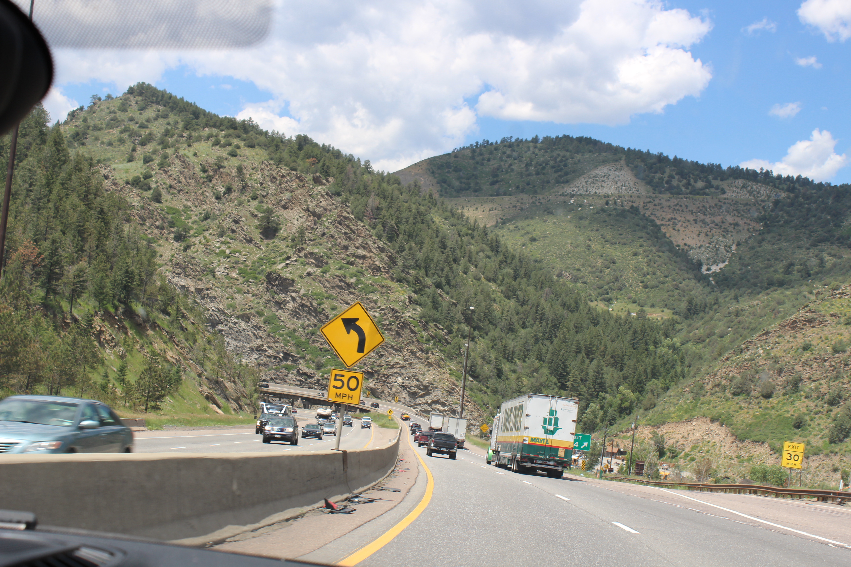
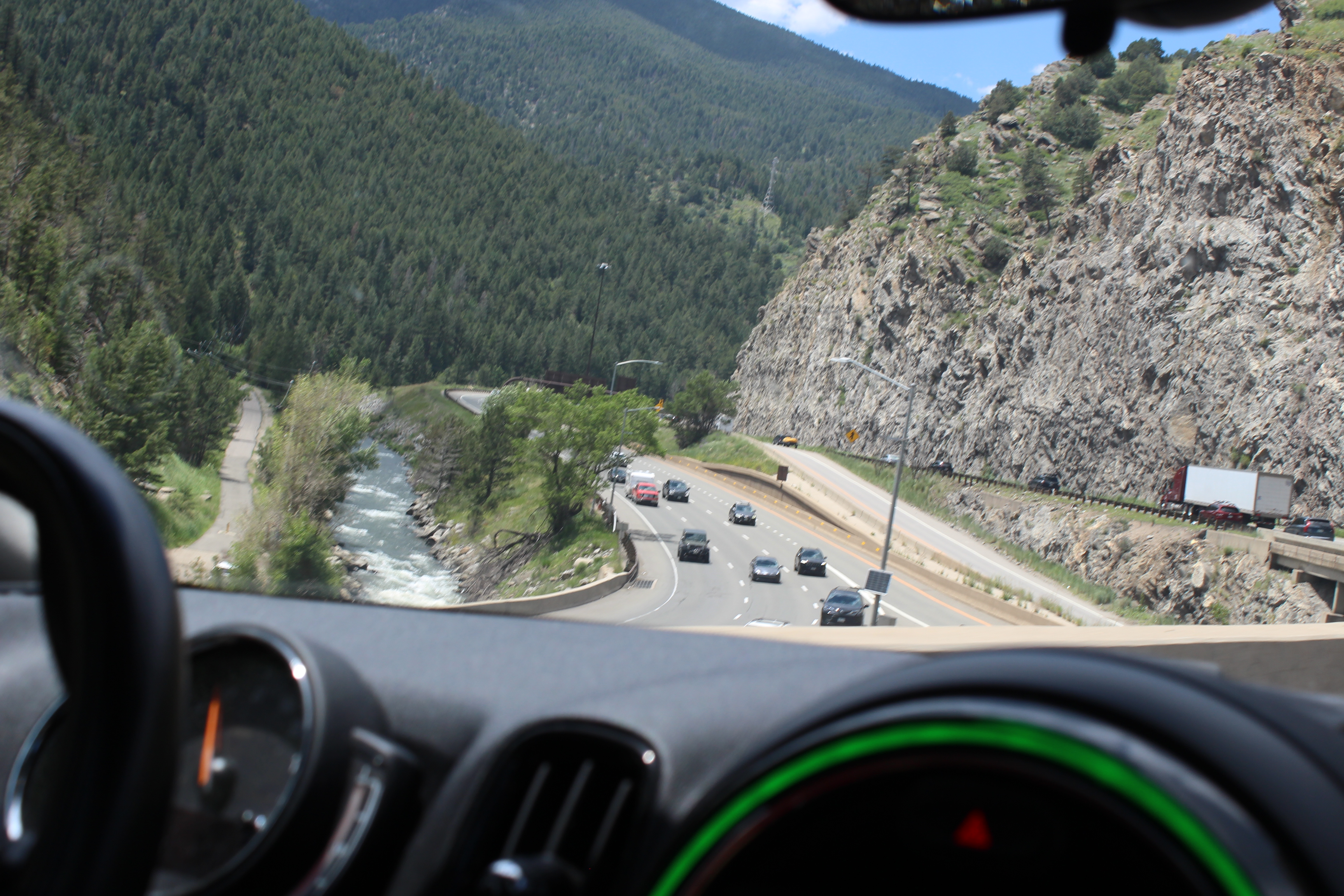
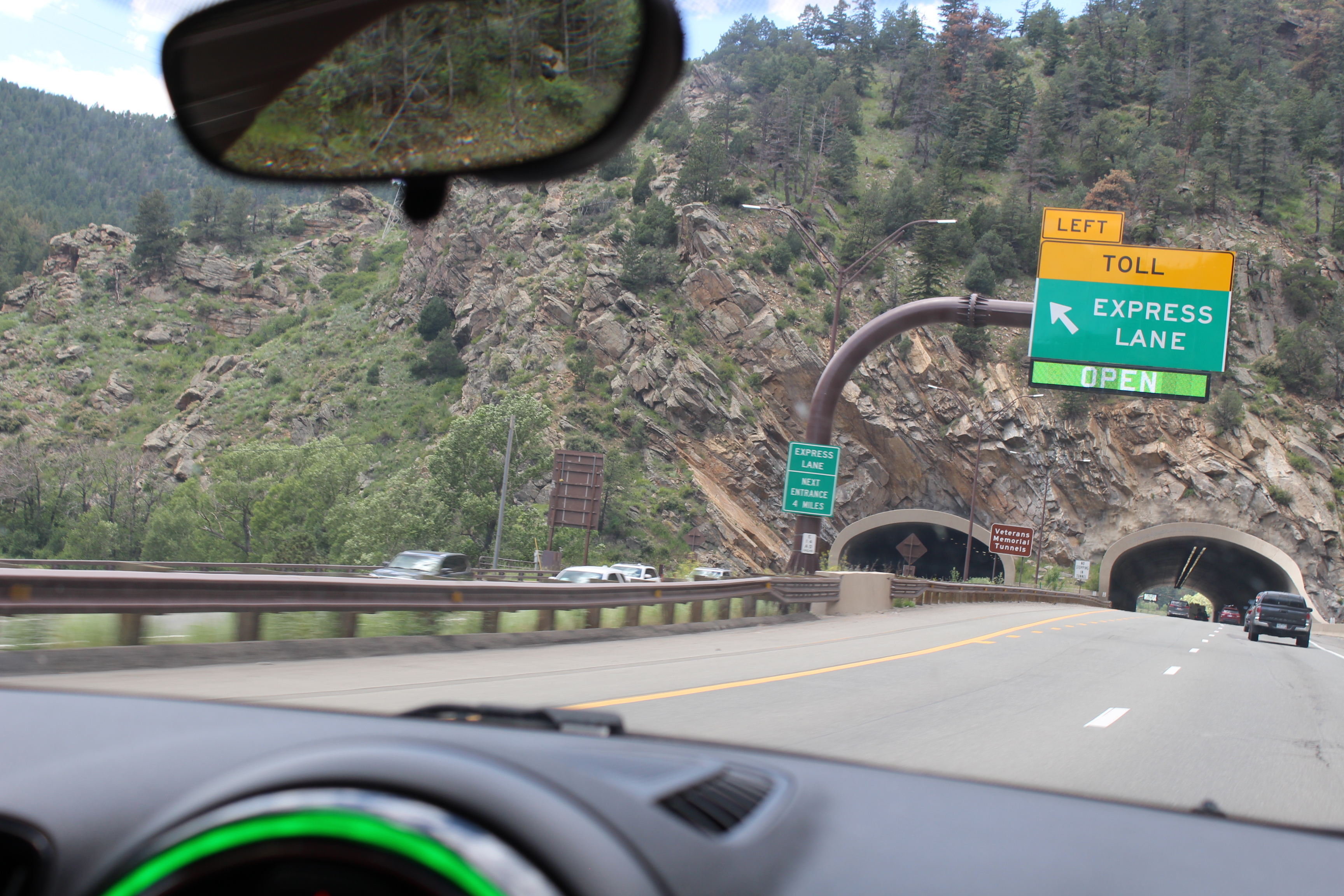
Interstate 70
|
|
|
|
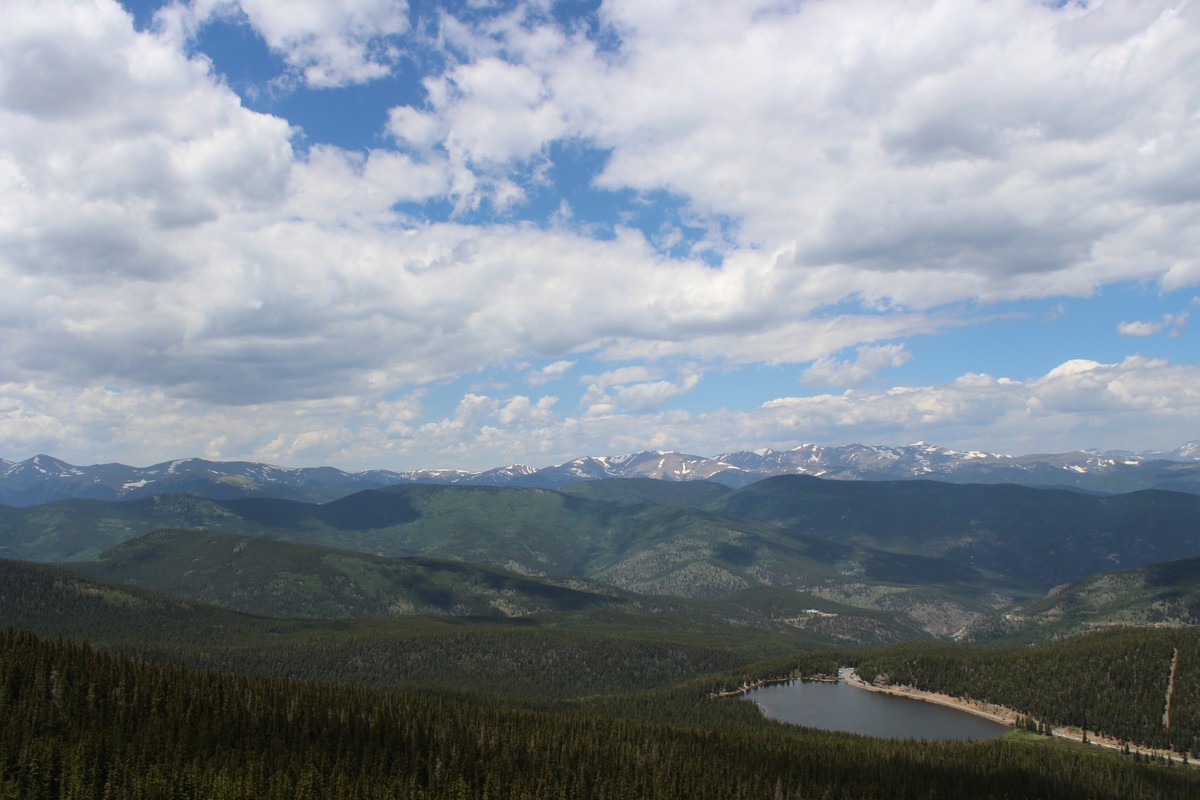
We took off north on Route 470, which runs along the edge of the foothills, and then picked up Interstate 70, which runs west through a pass that crosses the Rockies into Utah, and eventually to the Pacific. That's when the route started to get dramatic, snaking through the valleys of the foothills. I-70 is hailed as an excellent example of eco-friendly road-building. It crosses the Rockies through very difficult terrain, and despite that, manages to minimize its footprint on the land. Through many sections, particularly where it runs along waterways that cut the very passes that permit it to make that crossing, it's built on a raised viaduct, rather than by cutting a shelf into the side of the mountain. (There are some people that might call that a boondoggle and an inefficient squandering of funds. I am not one of those people.) That gives wildlife full access to the river, rather than forcing the animals to make the dangerous crossing of the highway. We were to see this more dramatically on our train journey a couple of days later where the tracks ran along the opposite side of the river from the highway.
Route 103
|
|
|
|
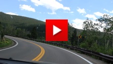
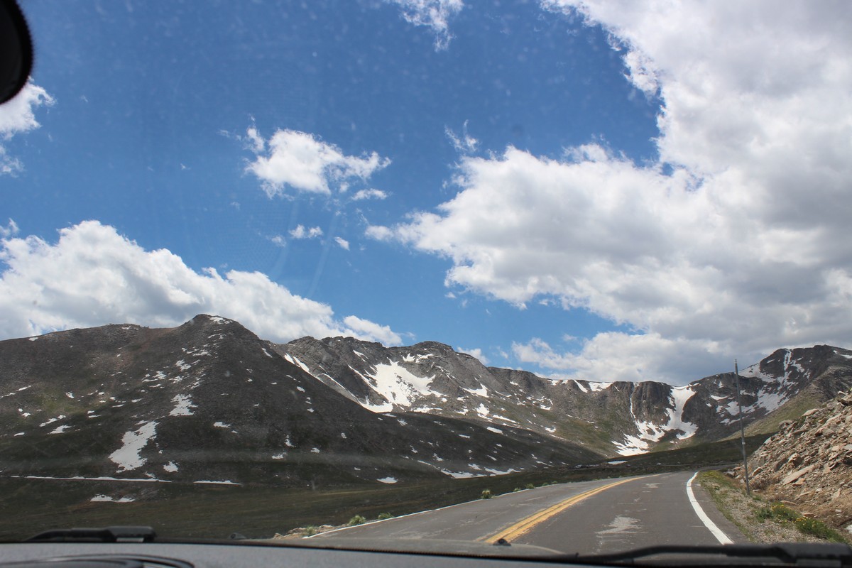
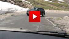
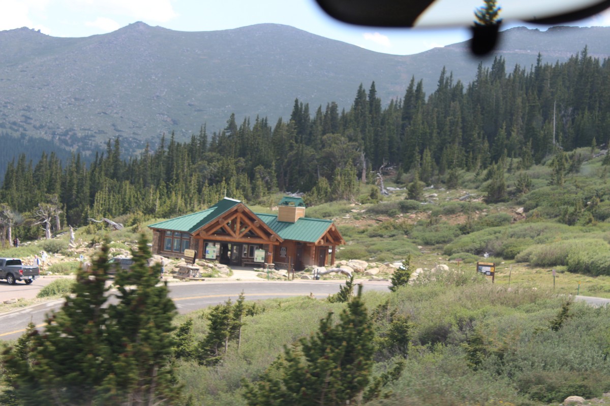
We exited the highway in Idaho Springs, and took the 2-lane Route 103 up into the more serious twisties headed towards the Mount Evans Welcome Center. Click the image in Photo 67 for a short video of the route. (That chattering noise you hear is the auto-focus of the camera making continual fine adjustments.) Towards the end of that video we pass the first of several intrepid cyclists we encountered on the way up to the top. Considering the altitude at the top is 14,200 feet, they must be in incredible shape. There's a barrier at the Welcome Station, where you have to stop and be passed through. I was told that one needs to make reservations for the access road to the top. We had no reservations, but they let us through with no questions. I guess that when it gets too busy, they need to limit the number of cars on the mountain at one time due to parking limitations at the top, and that's when they let in the folks with reservations first.
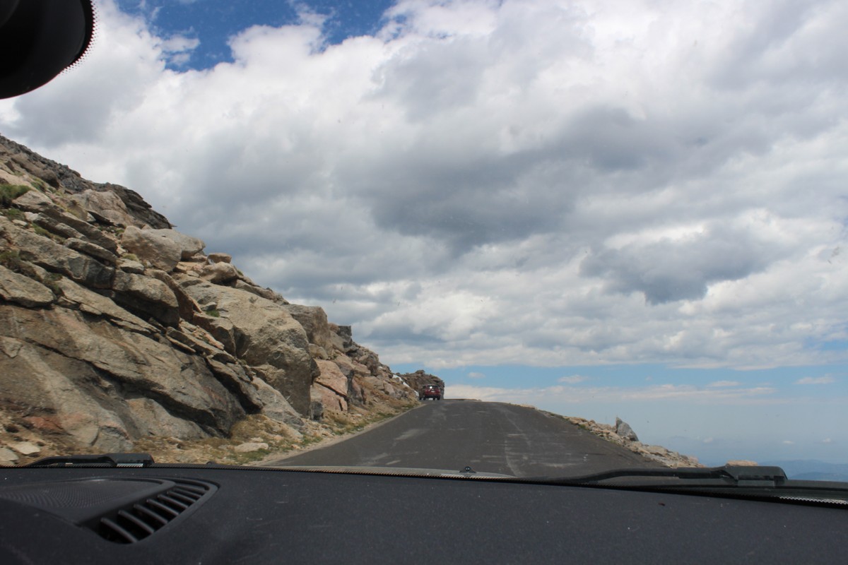
Up the Mountain on Route 5
|
|
|
|
|
|
|
|
|
|
|
|
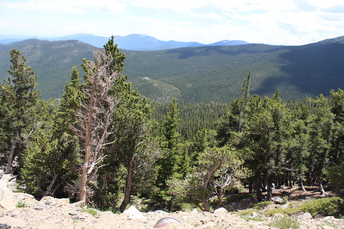
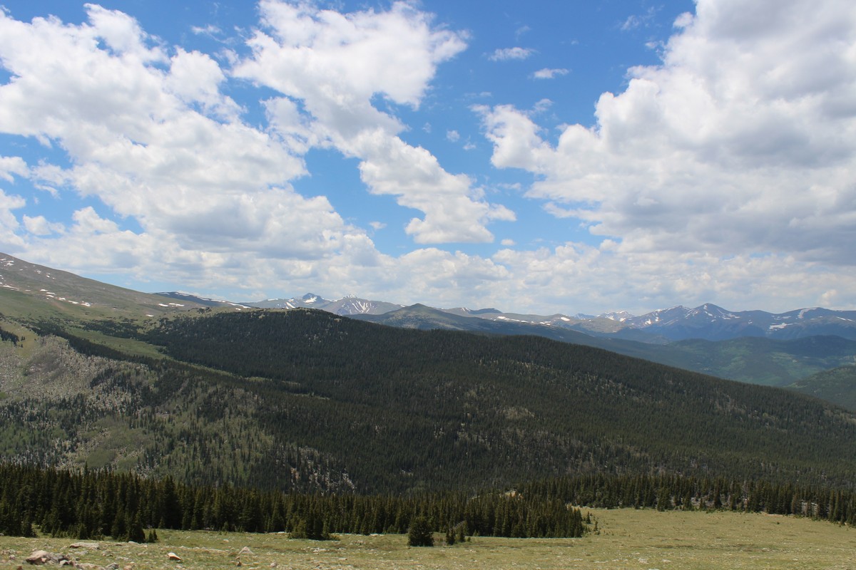
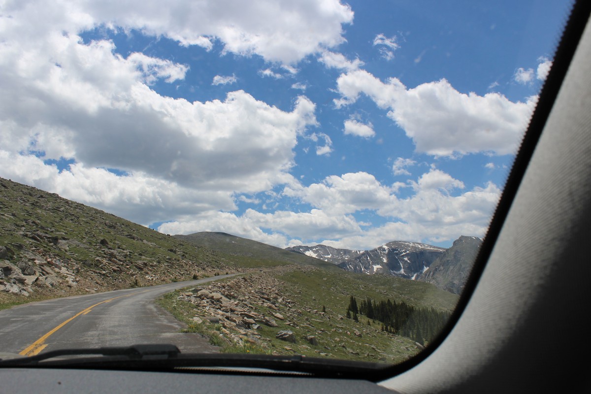
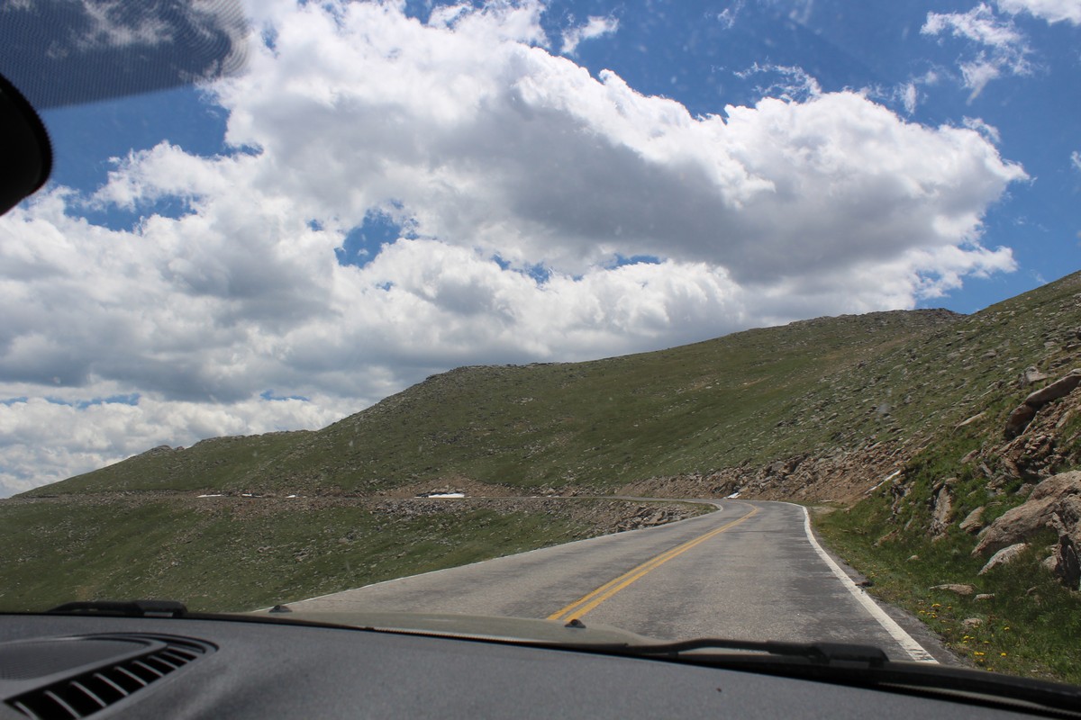
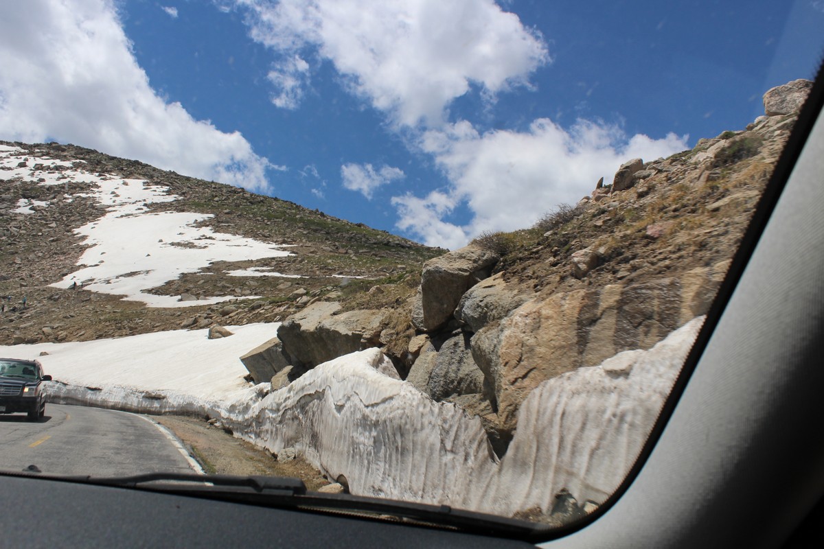
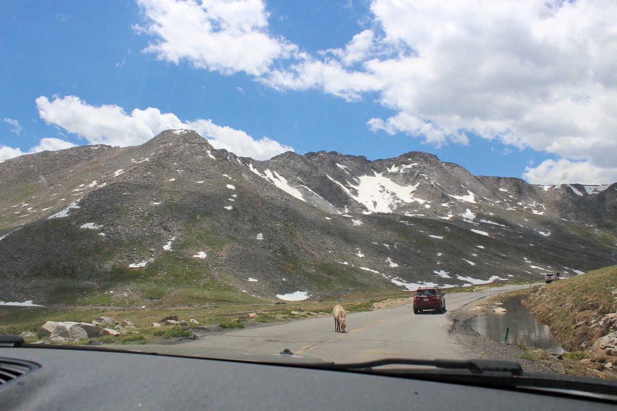
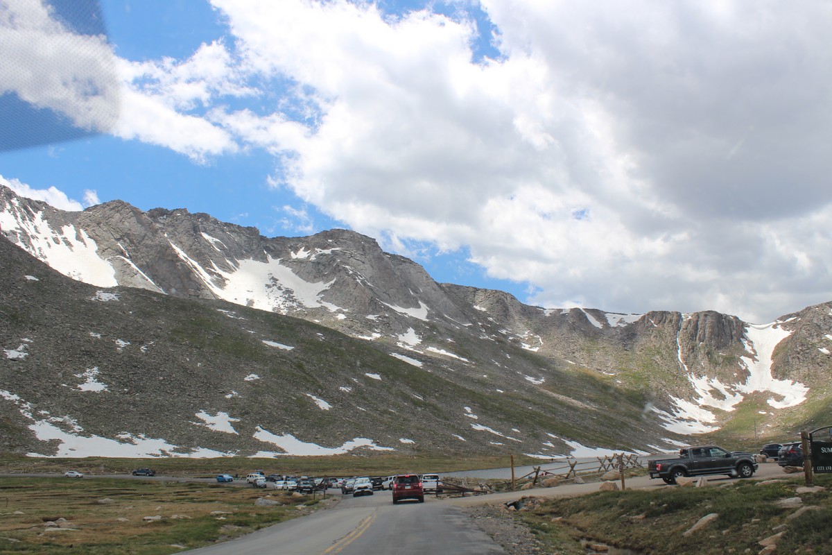
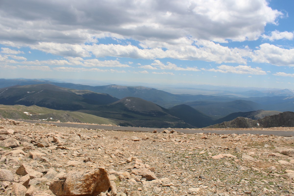
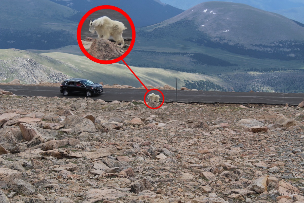
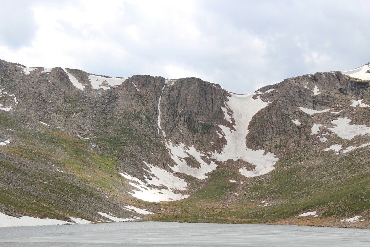
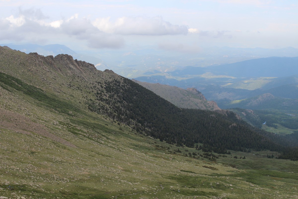
The road leaving the Welcome Center was Route 5, and its character changed from that of 103. It was narrower, bumpier, and in much poorer condition. I'm guessing that it had been built and maintained by the Parks Department rather than by the state. Also, as the altitude increased, the bumps got bigger, and frost heave cracks appeared. As we climbed above the tree line, we began to see traces of snow remaining from winter (Photo 51). We encountered a mountain goat (Photo 73) nonchalantly strolling along the road, oblivious of the traffic. That's OK. Everyone was driving at a sedate 25 or 30 MPH, as much in respect of the rough road condition and hairpin curves as of encountering potential jaywalkers.
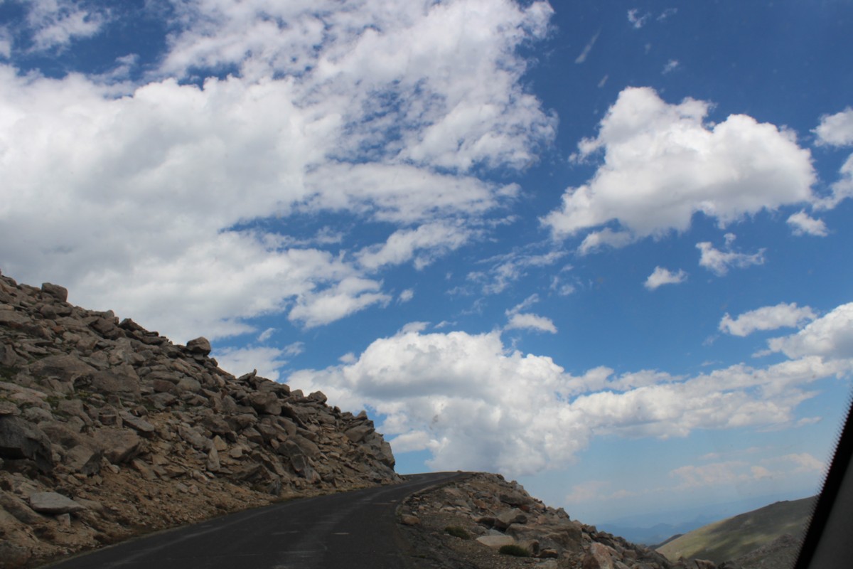
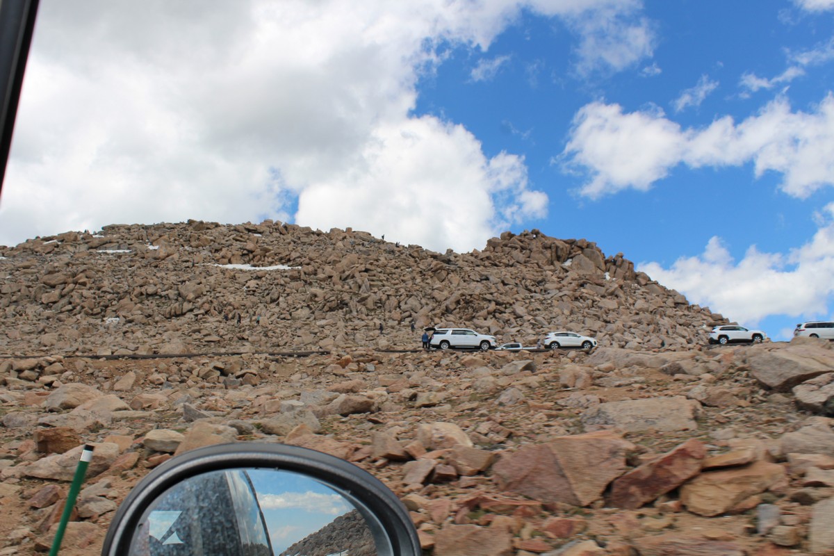
All this time, John had been driving, I was riding shotgun so I could take photos, and Jenny had been in the back. When we came to the parking lot in Photo 74, John suggested that I take the wheel, and he sit in back so Jenny could better view the view. So we pulled in, did a little Chinese fire drill, and continued onwards. Photos 76 through 79 were taken by Jenny. As we neared the summit, the road grew more precarious, with bigger frost heaves and no guard rails..
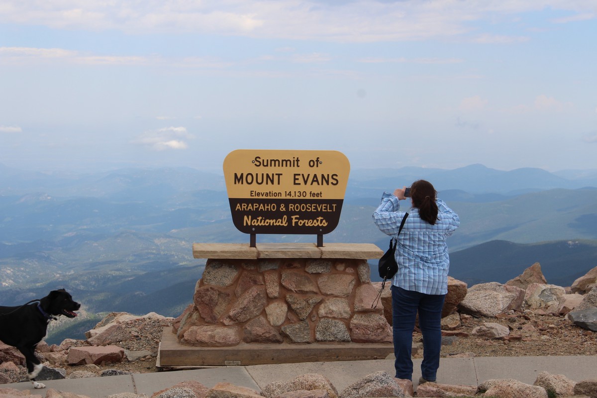
At the summit
|
|
|
|
|
|
|
|
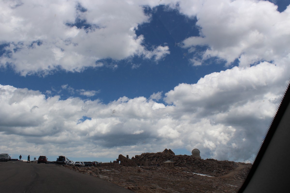
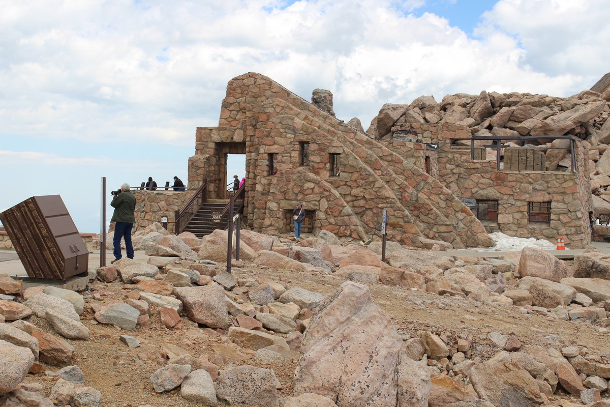
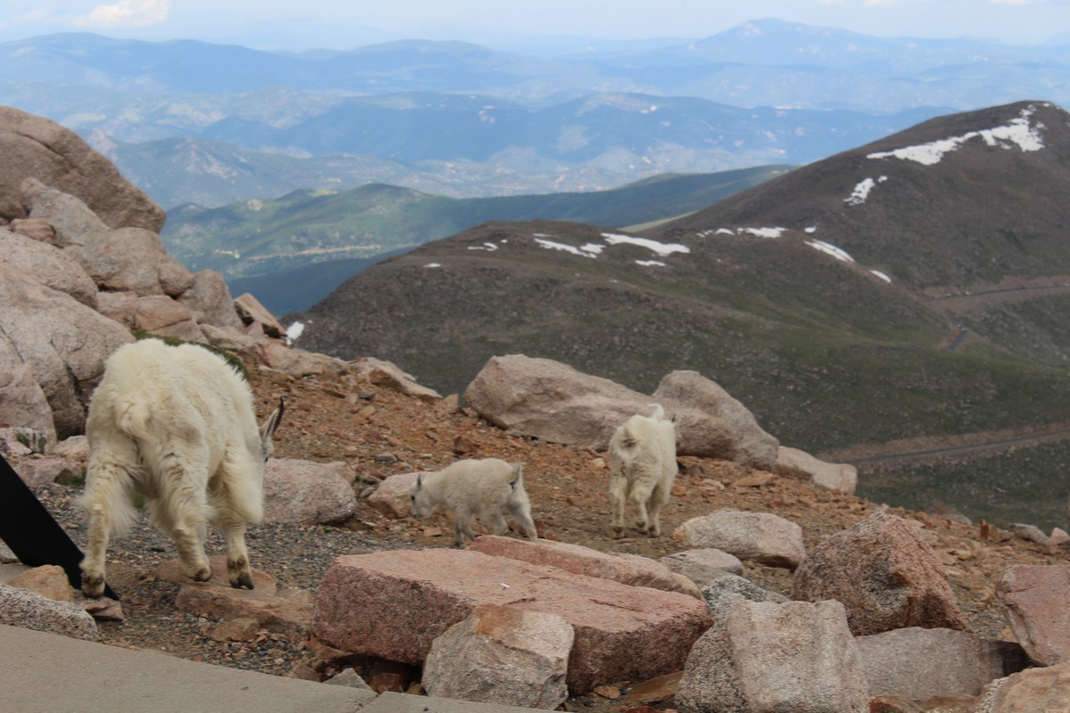
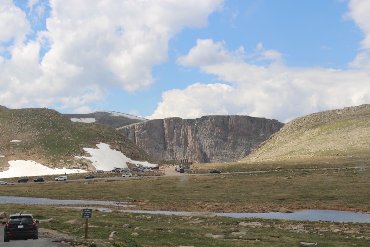
When we reached the top, the parking lot was quite full. But I was driving John's wife's Mini Cooper, and I managed to find a mini parking place. It wasn't even the peak of the mountain. There was a footpath that went up another hundred or so feet, and I was hoping to go there. However, I was sort of concerned about the altitude. I know that aircraft that fly over 12,000 feet are required to be pressurized or provide oxygen masks, and we were over 14,000. Sill I wasn't feeling anything amiss except an increasing numbness in my feet. It's a condition I often have to one extent or another, due to my generally low blood pressure. (Which is one reason I often take my shoes off indoors. It lessens the numbness.) But when I got out of the car, it hit me like a sledgehammer. I got dizzy, and disoriented. It was also pretty chilly up there. I did not want to walk around and explore. All I wanted was to get back in the car, and sit down and turn on the heater. I did walk up to the edge of the parking lot and take photos 81 through 86, but after that, it was all I could do to get back to the car. I was curious about the masonry structure in Photo 85, but never did find out what it was. The mountain goat in Photo 86 eventually wandered up into the parking lot, along with the rest of its little herd, including two kids, totally oblivious of the people and cars moving about the place. I did summon up the energy to get back out of the car again to shoot Photo 87. Jenny and John seemed less affected by the altitude than I, and they wandered about some before coming back for the trip home.
Descending Mount Evans
|
|
|
|
|
|
|
|
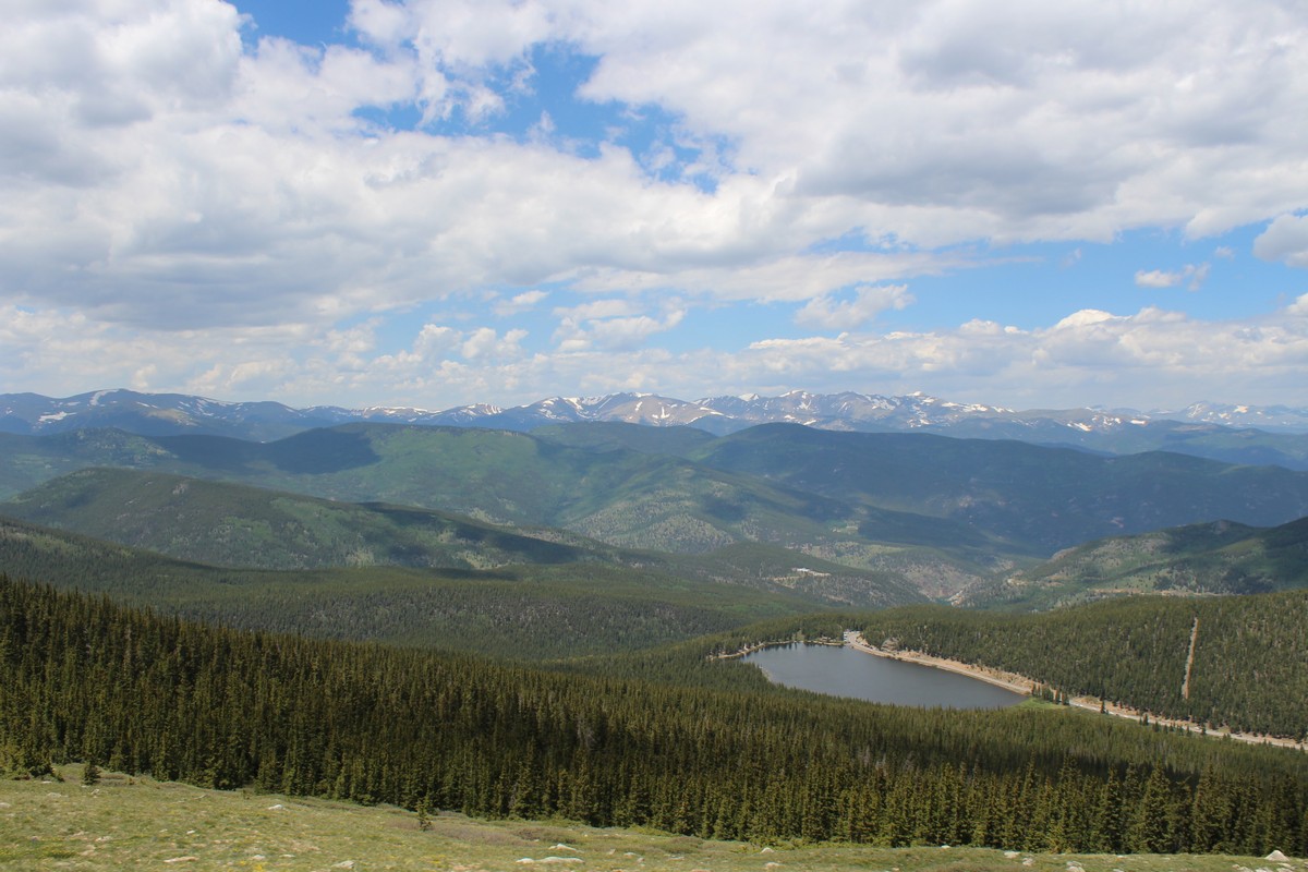
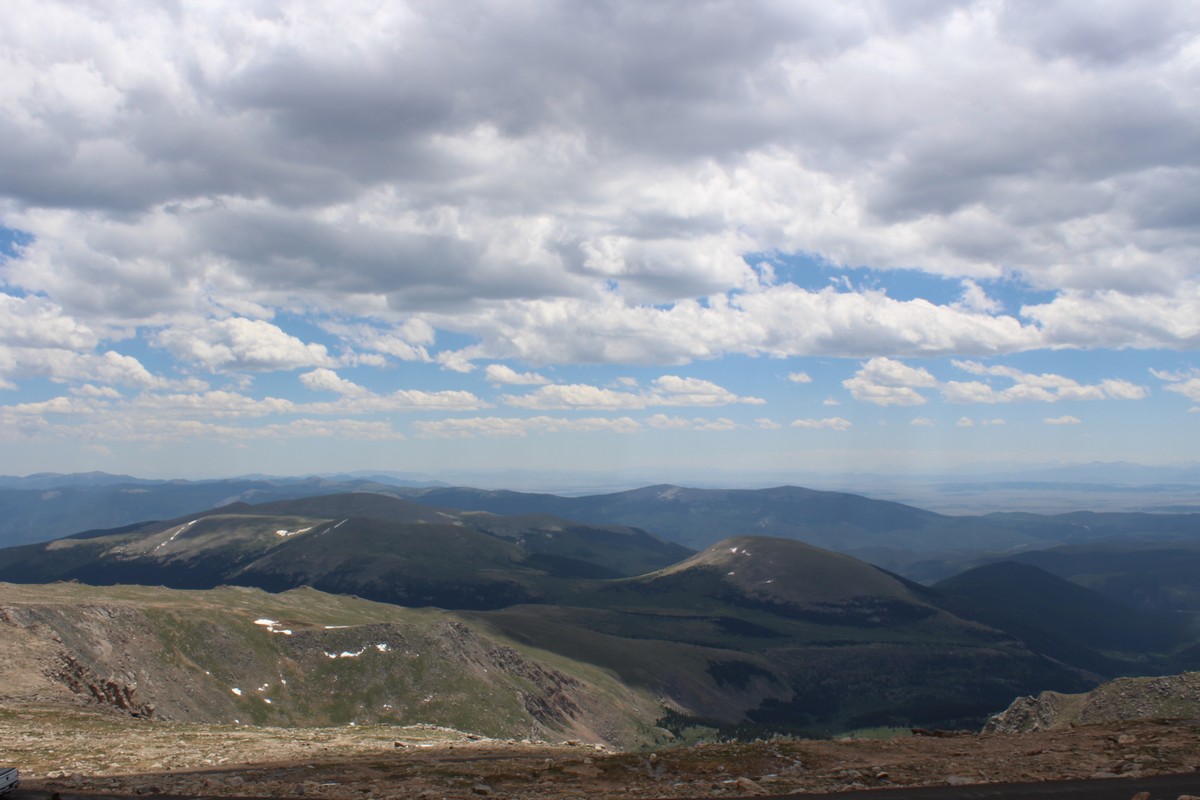
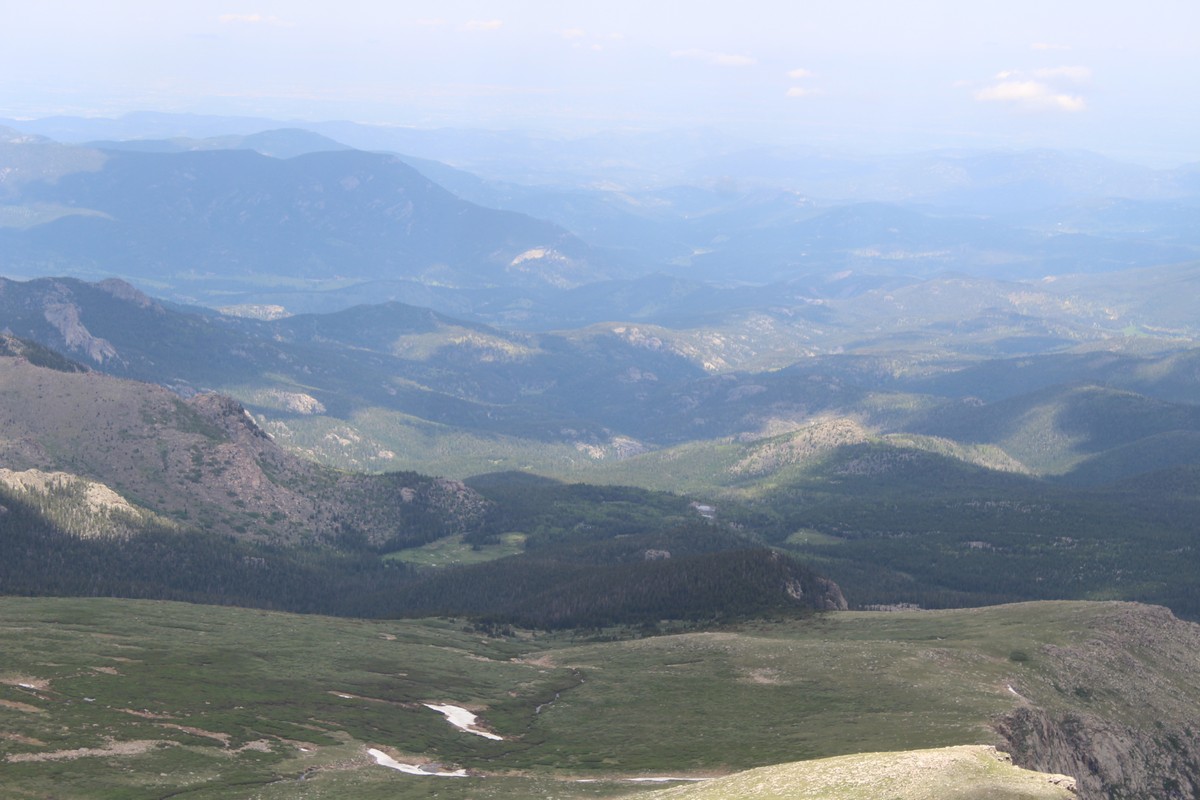
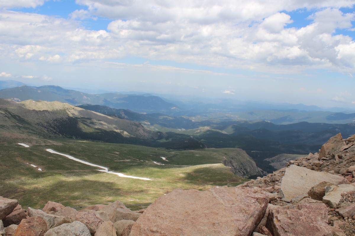
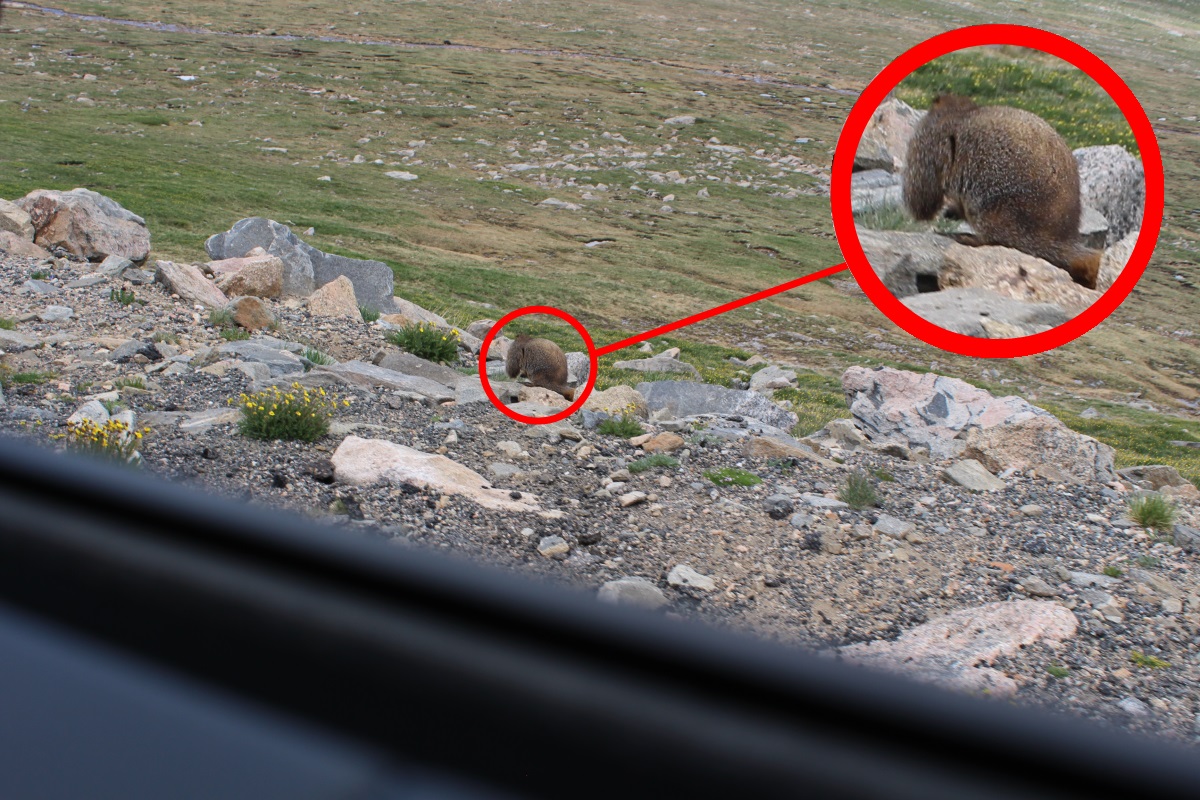
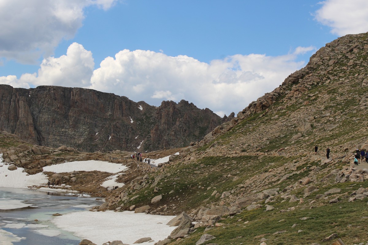
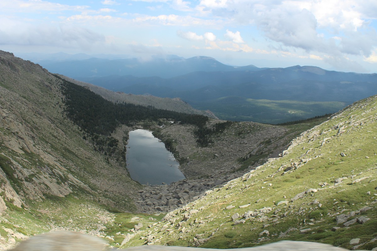
I did not trust myself to drive the way I felt. As long as was seated and inactive, I was fine, but I would not want to get a dizzy spell while driving, so Jenny took over the wheel on the way down. She is a much more cautious driver than I, and she often pulled over to the shoulder when there was one to let more impatient drivers pass. I didn't mind. I was in no hurry. Video 88 gives you a good impression of what the road was like. The terrain on the way down looked very much like the terrain on the way up, but from the reverse perspective. John pointed out a marmot, (sort of an alpine woodchuck) by the side of the road, at which I fired off a quick photo (Photo 90) The shot will not make National Geographic, but at least it proves we saw it. I think Photo 91 depicts the same parking lot where we switched drivers on the way up. I don't remember when we switched again on the way down, but I know John was driving when we left the park. Photo 92 shows an alpine pond and some intrepid hikers. Photo 93 shows a very distinct tree line. There must be some geological term for the body of water shown in Photo 94. It is obviously a depression in the terrain that collects meltwater as its only source, and probably evaporates over the course of the summer. I wouldn't know if it ever dries up completely, but the tree line shows how high the water gets in the first melt-off of spring. And Photo 95 depicts the first sign of human habitation.
We had lunch at a high-class burger joint somewhere before we got back on Route 70, and John brought us back to Highline Crossing. I took a geezer nap, and tended to some email correspondence. Two notable things happened that evening. I was sitting in the living room with John Rymers, chatting about something when it started to rain heavily with some walnut-sized hail mixed in. I sort of enjoyed that mild distraction, but it came back to bite me a few days later. Then Jenny reported that she had caught the "Where did I put it" disease from me; she could not find her glasses. We had to pack up and leave the following morning, even though we still had a day to spend in the Denver area, as the guest suite had been promised to another guest on Monday night. We both did an "idiot check", going over every place we could remember having been, all to no avail. I was particularly concerned that in addition to having to do all of her sight-seeing with fuzzy vision, she'd also have to drive home from the airport with impaired vision. She was confident that she could handle it because she knew the way, and would not have to read any of the road signs. Still, it was worrisome.